

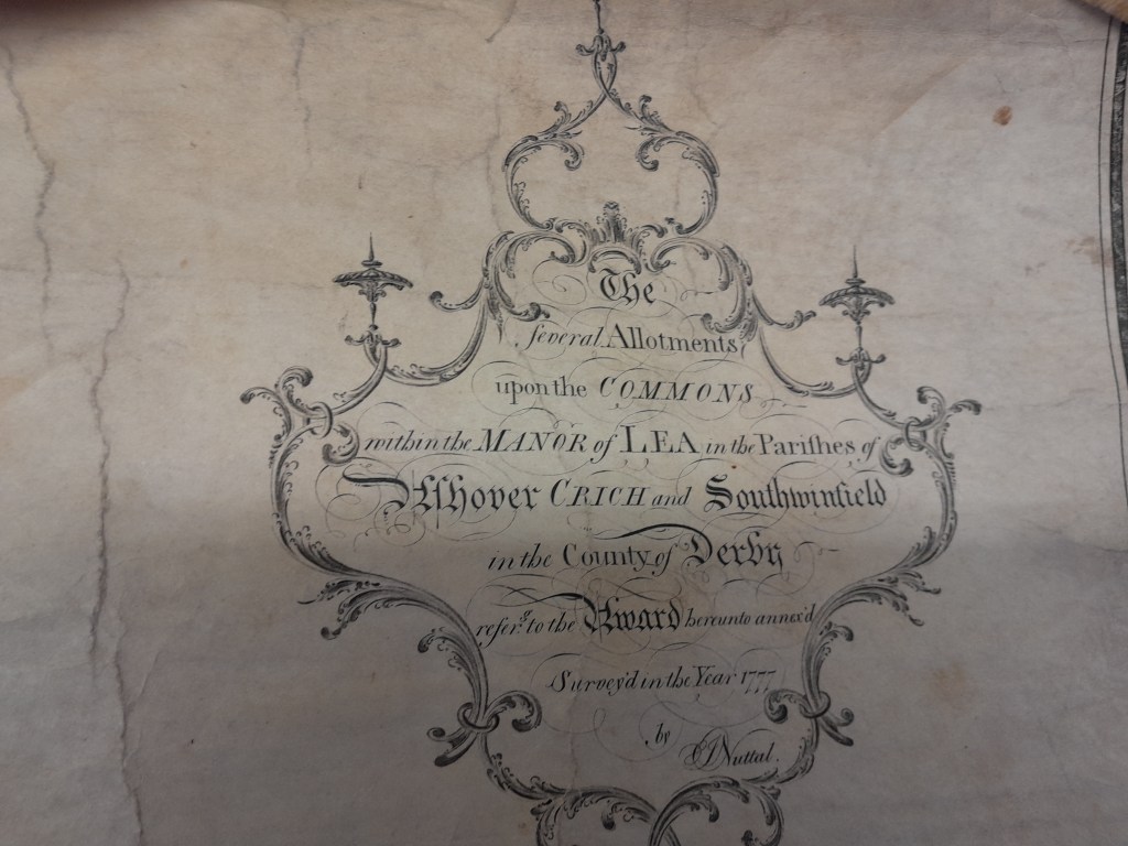
Today many Derbyshire parishes have a nearby ‘Moor’ marked on the map e.g. Cromford Moor, although these areas are no longer wild heath. But they are a reminder of the enclosures of the late eighteenth and early nineteenth centuries, which brought what were often the highest and least productive soils into cultivation. These enclosures are often blamed for driving the poorest people into cities, by privatising what had been a resource for communal grazing, but they also impacted on the road system, as can be seen in the Lea Enclosures of 1777: ‘ The Several Allotments upon the Commons within the Manor of Lea in the Parishes of Ashover, Crich and South Winfield…’ (see above. NB at this date Lea was in Ashover parish).
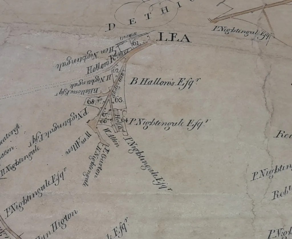
This Award document, preserved in the Derbyshire Record Office, is a hefty roll of many sheets of parchment, written in a small, neat hand, now faded to a dusty red. It lists the numbered ‘allotment’ of land to all the local stakeholders: as can be seen in the detail above, Peter Nightingale was an extensive landowner in Lea Green. But the map also provides the earliest record of this community, and of some road names still in use, for example Sledgegate Lane and Holt Road.
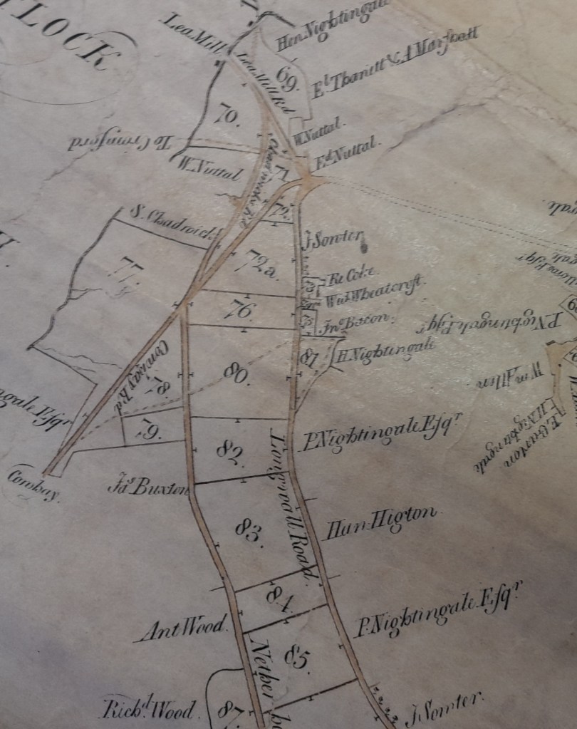
The map of the adjacent area, above, shows that the modern Long Lane was then Longwalls Road, and also marks a route to Cromford near Lea Mill which is now a mere footpath, crossing the Lea Brook on stepping stones. Elsewhere, the document spells out not just land ownership, but also the layout of the new roads to serve the new fields, plus their dimensions and maintenance:
‘One other private carriage road and public drift road or way beginning at Upper Holloway and extending in a North Easterly direction over the said High Moor to the said Lea Road … which said Lea Road we have staked out to the width of 27 feet between the fences and we do hereby call the same Doehole Lane …’.
Many of these enclosure roads were laid out dead straight for ease of measurement, and as such stand out on the modern map in comparison to the older, winding routes on lower ground.

