
Welcome to my Old Roads of Derbyshire website and blog!
You can sample my book on the history of roads, travel and travellers in Derbyshire, then browse through over a hundred posts on these and related subjects. There are posts on everything from prehistoric burial sites beside ancient routes, to the twentieth-century ramblers who helped preserve ancient footpaths. Enjoy exploring my website and the paths of Derbyshire!
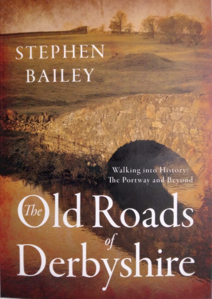
The Old Roads of Derbyshire
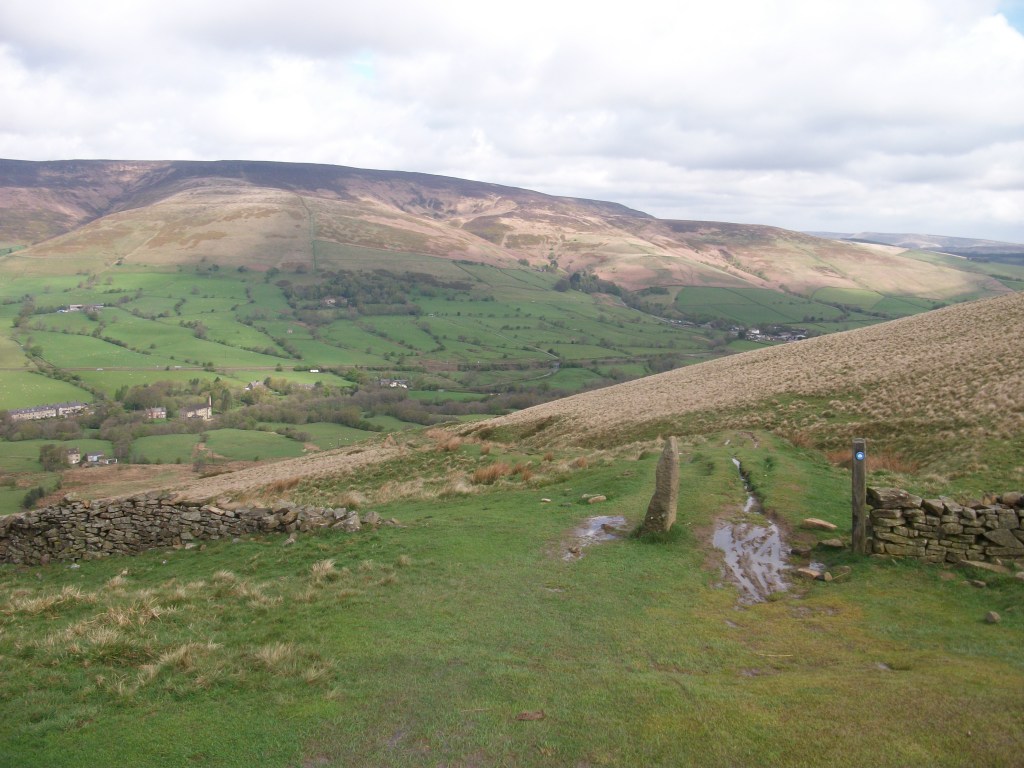
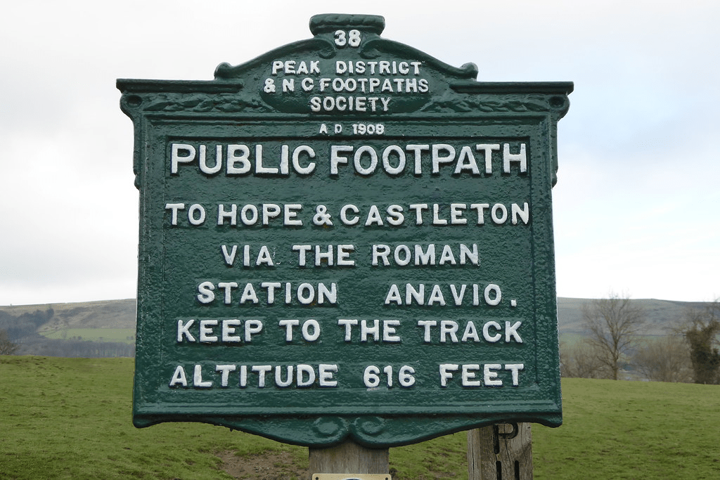
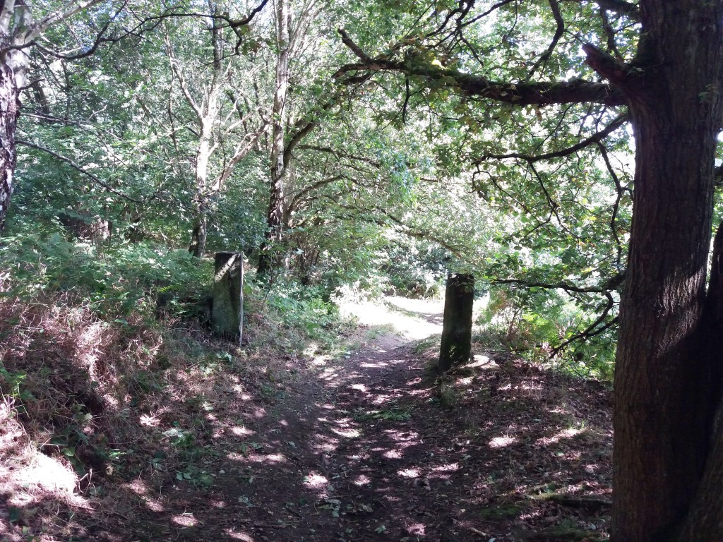
Derbyshire has a wealth of old roads, lanes, tracks, hollow ways and paths, some dating back thousands of years. It is a network which links a fascinating variety of sometimes enigmatic monuments, from fortified hilltops and stone circles to ruined abbeys and hermitages, ancient churches and tumuli.
The Old Roads of Derbyshire traces the development of these roads, from prehistoric ridgeways, Roman ‘streets’ and medieval pilgrimage routes to the growth of the turnpikes, and finally to leisure use by cyclists and hikers. Travellers of all kind are included: ‘jaggers’ with their packhorse trains, pilgrims, drovers, pedlars and tramps, and passengers in stage coaches and wagons, as well as the essential infrastructure of bridges and inns.


Latest blog post
- Riding through the glen …

The man who never was When I was a young boy in Nottingham, in what now seems the Middle Ages but was actually the 1950s, we loved playing at Robin Hood. Inspired by the TV serial and song (Robin Hood, Robin Hood, Riding through the glen) we could make a primitive bow and arrows ourselves, and finding a green cap with a feather was not so difficult. Even today, when kids may have better things to do, the man remains a popular icon thoughout the North Midlands, not only in Nottinghamshire but in Yorkshire and Derbyshire too. How to account for the persistence of this medieval figure who is world-famous for such improbable behaviour as robbing the rich to give to the poor?

A man in tights He is a man extraordinarily difficult to pin down, historically. But it appears that stories of his deeds were known by the fourteenth century, at first as an oral tradition and then appearing in written form. The stories vary over the centuries; all they have in common is an outlaw figure living in the forest, leading a group of men who rob passers-by. Some versions have him as a victim of corruption, a yeoman whose lands have been stolen, engaged in guerilla warfare with the sinister Sheriff. It seems likely he would focus on travellers on the Great North Road (Stamford, Newark, Bawtry), but forested routes as far west as the Erewash valley may have provided useful cover. Assuming Robin Hood was a composite character, composed of many outlaws in different times and places, it’s still worth trying to explain his remarkable survival and popularity throughout the region, including Derbyshire.

Quite a stride Robin Hood’s Stride, between Youlgreave and Birchover (and right on the Portway) is one of the most famous sights in the region, but there are many other places in Derbyshire linked to the hero/villain. These include two Robin Hood’s Wells, an Inn, a Cross, a Chair, a Leap and two hamlets, one near Whatstandwell and one west of Chesterfield. There is also Little John’s Grave in Hathersage churchyard, while Robin is alleged to have married under the Doveridge Yew. The outlaw’s name brought prestige and glamour to the ordinary, while providing sardonic humour to others. One eighteenth century writer even had a repentant Robin becoming a hermit in Deepdale, near Dale Abbey, grafting him onto an older legend.

The hermitage at Dale Abbey The legends remind us of the perils of travel in the Middle Ages, but also reflect an almost universal sympathy for the outlaw who has the courage to break free from the common lot. They portray a fantasy world, in which the sun is always shining in the greenwood, and only the rich are robbed.
Source:
https://www.derbyshirefolklore.org/robin-hood-in-derbyshire.html
