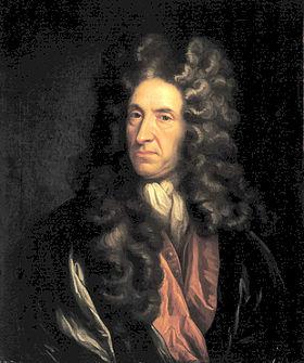
Few people living in Derbyshire in the eighteenth century have left an account of their travels; clearly they didn’t feel any need to describe their everyday experiences. Therefore it is left to the handful of early tourists to provide an impression of journeying in the county three hundred years ago. Daniel Defoe was an early novelist and journalist who visited many English counties in the 1720s in order to produce his A Tour of England and Wales.
Beginning at Derby, he had clearly chosen a wet season for his visit, since he had to abandon plans to visit Ashbourne on account of ‘the river drowning the low-grounds by a sudden shower, and hastening to the Trent with a most outrageous stream’, a reminder that, not so long ago, travel was very much at the whim of the weather. There are other references to the Derwent as ‘a frightful creature when the hills load her current with water’.
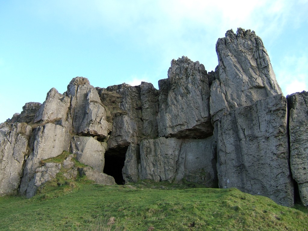
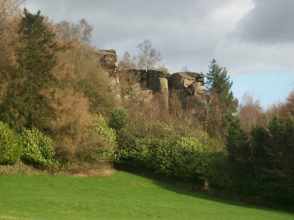
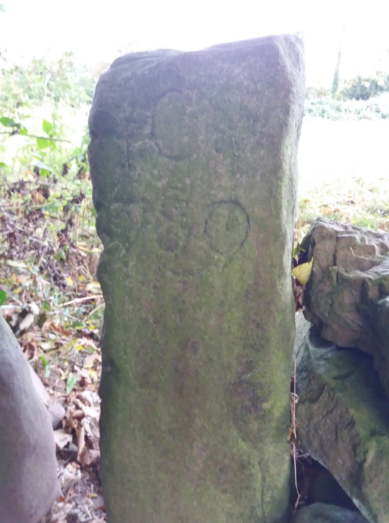
Defoe’s next stop was Wirksworth, which he found interesting due to the lead trade, despite the inhabitants being ‘a rude boorish kind of people’. The most remarkable part of this visit was an excursion to Harborough Rocks, which was called the Giant’s Tomb at that time. Here he found a lead miner’s family living in a cave, which had been lived in by his family for several generations. Defoe was both horrified, and impressed that people could cope with such crude conditions: ‘they seemed to live very pleasantly, the children look’d plump and fat’. Defoe’s party had a whip-round and gave the miner’s wife several shillings. (Today the cave can be visited quite easily by climbing up from the High Peak Trail).
Other items on his itinerary were more predictable: the Wonders of the Peak, and a focus on spas, which were just beginning to be significant destinations at this time. He is suitably impressed by Chatsworth, but comments about the moor above the house: ‘a waste and howling wilderness, over which, when strangers travel, they are obliged to take guides, or it would be next to impossible not to lose their way’. As for getting to Matlock (which he labels as a village), Defoe maintains that the warm springs would be worth visiting if access was not by ‘ a base, stony, mountainous road’ – presumably the route over Scarthin, which was eventually superseded by blasting the present road through the rocks at Cromford.