Clegg’s travels

The chapel at Chinley today

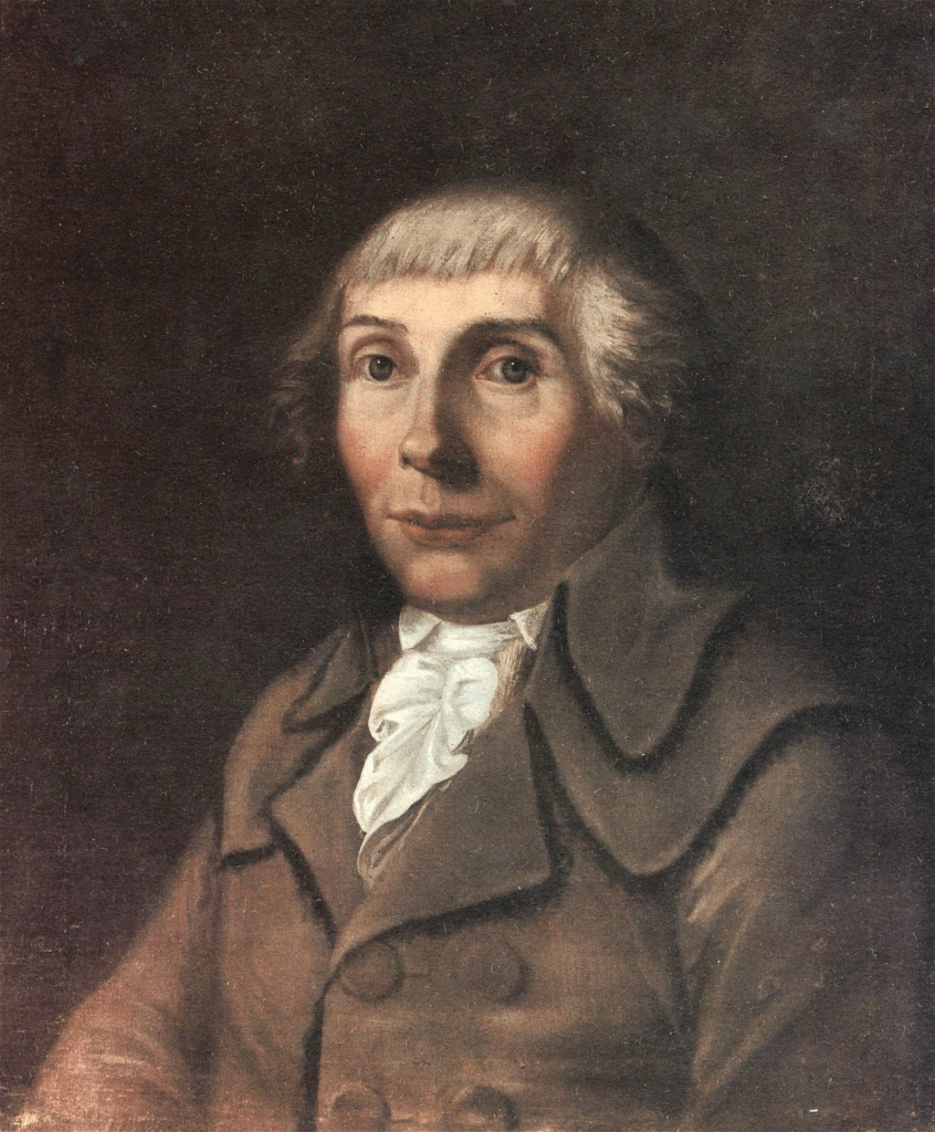
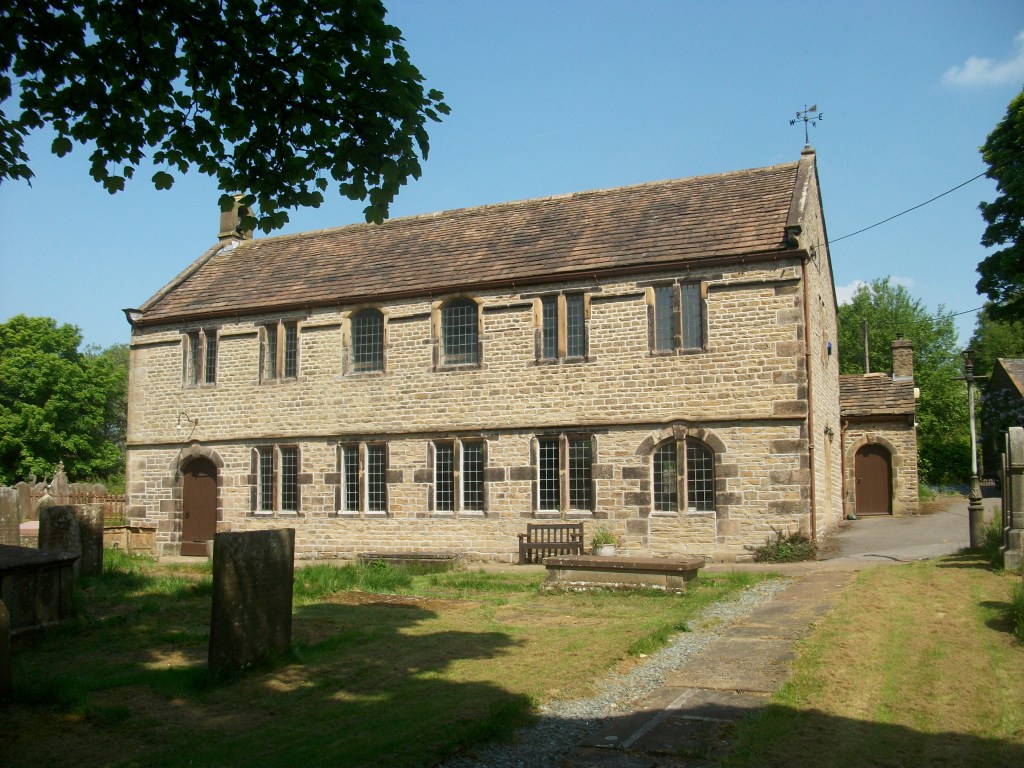
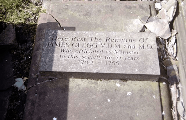
James Clegg (1679 -1755) was for many years a minister at Chinley Chapel, near Chapel-en-le-Frith in north Derbyshire. There are no surviving pictures of him, but we know more about his life than is usual thanks to his diary, which he kept from 1708 until his death. As it was frequently necessary at that time to have several ways of earning a living he also had a farm and trained as a doctor, a vocation which would have fitted in well with his spiritual duties. The record he kept of his journeys in the diary gives us a valuable picture of personal movement in the pre-turnpike era. He was originally from Lancashire, and family concerns caused visits to the Manchester area, as well as to Chesterfield to see his sister, but he also occasionally went to Lincolnshire, Nottingham and Derby, besides Macclesfield and Leek. In addition there were many shorter journeys for medical and religious reasons in the Chapel district.

Clegg’s tomb at Chinley Chapel

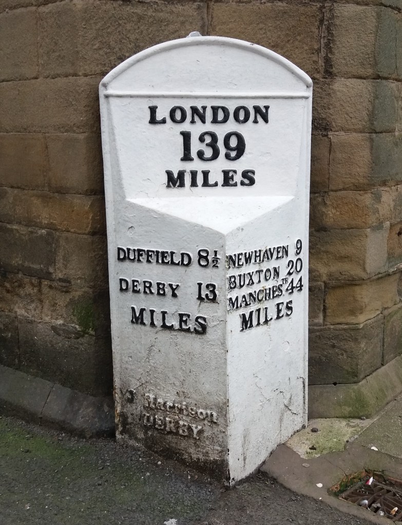
The longest journeys he made on horseback were just under thirty miles, and as the average speed of a rider at this time is thought to have been about four miles an hour (given the state of the roads) this journey would have meant seven hours in the saddle. An analysis of his travels in the first six months of 1730 shows that he rode about a thousand miles overall, with a noticeable increase as the days got longer, from 69 miles in January to 286 miles in May. Clegg rode his mare in all weathers, although he rarely mentions this except when extremely snowy. Occasional phrases in the diary remind us of the hazards of travel in the period:

… the night being very dark I narrowly escaped a dangerous fall into a stone pit which my mare jumped into’.

However, despite such episodes Clegg’s 76 years are a testament to his remarkable versatility and vigour.

Afoot with Karl Moritz

Karl the wanderer

Karl Moritz was a prolific German writer who, in 1782, spent two months touring England, reaching as far north as Derbyshire. Clearly an adventurous character, what is especially striking is that he traveled on foot, when all but the poorest went on horseback. This gives his writings an unusual perspective, and his experiences, at a time when foreigners were rare in these parts, provide an interesting insight into the realities of travel in the late eighteenth century. Leaving Derby (‘a small, but not very considerable town’) he finds the village children very civil, bowing to him as he walked. In Duffield (‘a long and extensive village’) he is pleasantly surprised when, at the inn, he is shown into the parlour for a meal. This is in contrast to previous inns, where foot travellers were relegated to the kitchen.

The Bear, Alderwasley, today

It is interesting to try to reconstruct his journey from Duffield to Matlock. The turnpike was a ridgeway through Belper Lane End and on to Bolehill and Cromford, and he speaks of staying the night at an inn ‘about five miles from Matlock’. This could have been the Bear at Alderwasley, which is shown on a map of 1761 as ‘Brown Bare’. Here he finds the kitchen full of boozy farmers, and as he accidentally fails to drink the landlord’s health he is sneered at for his ignorance. Naturally he was pleased to leave ‘this unfriendly roof’ the next morning and head for Matlock Bath, which produced the standard romantic reaction:

The situation of Matlock itself surpassed every idea I had formed of it. On the right were some elegant houses for the bathing company … to the left, deep in the bottom, there was a fine bold river, which was almost hid from the eye by a majestic arch formed by high trees, which hung over it.

Nineteenth-century painting of High Tor, Matlock

After seeing this ‘Paradise’ Matlock town was disappointing (‘scarcely deserves the name of a village, as it consists of but a few and miserable houses’). From there he walked to Bakewell, enjoying the scenery:

The whole country, in this part, is hilly and romantic. Often, my way led me, by small passes, over astonishing eminences, where, in the deep below me, I saw a few huts or cottages lying.

After passing through Ashford, en route to Wardlow, he fell into company with two other walkers, one being a talkative saddler. Karl was surprised to find that he could quote from classical authors such as Homer, reciting passages from memory. The saddler also warned him to avoid Wardlow and head for Tideswell instead, which would offer better lodging.

Moritz’s visit must have been partly inspired by Matlock’s early reputation for romantic scenery, and of course he would be followed by many more tourists in the next two centuries, eager to experience the wonders of the Peak.

Too many ways?

Section of the Portway below Robin Hood’s Stride, aka the Limestone Way

It took 30 years for the first national long-distance trail, the Pennine Way, to be opened. In 1935 an article by Tom Stephenson suggested the creation of the route, inspired by American models such as the Appalachian Trail, but it was not opened until 1965, after years of haggling with landowners such as the water companies. Today its 260-odd miles from Edale to just over the Scottish border are still a formidable challenge, but it has been joined by the development of many more such paths.

The Ecclesbourne Valley Express

The various long-distance paths in Derbyshire have been developed for different reasons. For instance, the relatively new Ecclesbourne Valley Way (11 miles) provides users of the Ecclesbourne Valley Railway with the chance to walk all or part of the route from Duffield to Wirksworth. The Limestone Way (46 miles from Castleton to Rocester) was set up by the local council to promote tourism in the area. The 55-mile Derwent Valley Heritage Way, from Ladybower to the Trent, was created for similar reasons, and to tie in with the World Heritage Site status of the valley. A glance at the Ordnance Survey map will reveal more (green diamonds on the 1:25,000 map), such as the Midshires Way, Peak Pilgrimage or the Cuckoo Way.

On the Portway at Alport Height

Most of the recently created routes link up existing rights of way and waymark the entire track. As such they provide walkers with an alternative to circular walks, although clearly sections can be followed separately. However, only the Derbyshire Portway (55 miles from Sneinton, Nottingham to the Snake Pass) can claim to follow the approximate route of an ancient trackway. The problem with some of these recent routes is a lack of maintenance. It is surprising how quickly signposts disappear, waymarks are hidden by foliage, and even field boundaries are removed. Attempting to walk the Midshires Way recently we found that in the centre of one large field near Palerow Lane the route makes a 90 degree turn, which we missed as there was no marking at all, yet I imagine that few walkers want to be glued to a walking app. Providing proper waymarking, stiles and undergrowth clearance on these routes would be a trivial expense, and would certainly encourage more people to take to the hills.

Riding with Cobbett – 2

Statue of Cobbett at Farnham

In the early modern period, gentlemen – and the more daring ladies – preferred to travel on horseback. William Cobbett, touring England in 1822 for his masterpiece ‘Rural Rides’, explains this preference:

My object was … to see the country… and to do this you must either go on foot or on horseback. With a gig you cannot get about amongst bye-lanes and across fields, through bridle-ways and hunting-gates …

From his saddle Cobbett meets a rich variety of fellow travellers, who he reacts to with typical vigour:

On the road-side we saw two lazy-looking fellow, in long greatcoats and bundles in their hands, going into a cottage. ‘What do you deal in?’ said I to one of them, who had not yet entered the house. ‘In the medical way,’ said he. And, I find that vagabonds of this description are seen all over the country …

Near Uxbridge he mentions his amusement at seeing ‘in all various modes of conveyance, the cockneys going to Ealing Fair’, which sounds like a print by Hogarth come to life. Cobbett strongly sympathises with the situation of the rural labourers, as when he crosses the River Wey:

Here we found a parcel of labourers at parish work. Amongst them was an old play-mate of mine. The account they gave of their situation was very dismal. The harvest was over early … now they are employed by the parish … to break stones into very small pieces to make nice smooth roads lest the jolting, in going along them, should create bile in the stomach of the overfed tax-eaters.

Late nineteenth-century gypsy encampment

Cobbett is more positive when he meets a group of gypsies, whom he finds physically impressive:

At Cheriton I found a grand camp of gipsys, just upon to move to Alresford. I had met some of the scouts first, and afterwards the advanced guard, and here the main body was getting in motion. One of the scouts that I met was a young woman, who, I am sure, was six feet high …. The tall girl that I met at Titchbourn, who had a huckster basket on her arm, had most beautiful features. I pulled up my horse, and said, ‘Can you tell me my fortune, my dear?’

Still open for business – the Holly Bush at Headley today

One of Cobbett’s best qualities is the ability to laugh at himself. On one day’s ride he got thoroughly lost, as he refused to use the turnpike road, and spent hours being misled on bridle-ways by a guide, all in the pouring rain. He writes:

At the Holly Bush at Headley there was a room full of fellows in white smock frocks, drinking and smoking and talking, and I, who was then dry and warm, moralised within myself on their folly in spending their time in such a way. But when I got down from Hindhead to the public house at Road Lane, with my skin soaking and my teeth chattering, I thought just such another group, whom I saw through the window sitting round a good fire with pipes in their mouths, the wisest assembly I had ever set my eyes on.

The mystery of the milestone

Milestone near Tissington

Walking near Tissington the other day I stopped for a drink of water, and propped my walking pole on what I took for an old gatepost, embedded in the rather ragged hedge. Then I realised it wasn’t a gatepost, but was inscribed on the side facing the lane. The inscription was finely carved, in serif lettering, but was difficult to read, being partly covered in moss. I finally decided it reads, in part:

From

London

(illegible)

Miles

(Illegible)

Guide stoop above Winster

Clearly this was not a guide stoop, which, as the example above shows, were inscribed on all four sides with the distance to the nearest market towns. The Tissington stone seems to only show the distance to London – not the most useful information for the traveller here. Moreover, it is located on a lane running east to the ford and nearby Bradbourne Mill, which seems an unlikely route to London: the obvious way to the capital was via Ashbourne and Derby.

Distance marker, corner of town hall, Wirksworth

Another, much later example of a marker showing the distance from London is found in Wirksworth, by the town hall. This version also gives the mileage to key towns on local turnpike routes. Again few travellers would have needed to know how far they were from London, but the marker does link the local community to the prestige and glamour of the capital. Could this be the motive for the Tissington stone – to associate this remote village with the majesty of London?

Any better ideas welcome!

Riding with Cobbett -1

William Cobbett

William Cobbett (1762-1835) was a radical farmer, journalist and campaigner who travelled extensively in England in the 1820s and 1830s, inspecting the state of farming and farm workers. His reports, collected as Rural Rides, also give us a picture of life on the roads in those decades before the railways radically changed patterns of travel. Cobbett went mainly on horseback, but also sometimes by post chaise, which was a light, four-wheel vehicle which usually only had seats for two.

A type of post chaise – in some cases the driver sat on the chaise

Even a relatively sophisticated vehicle like this was still liable to accidents:

‘This hill is called Burlip Hill, it is as much as a mile down it, and the descent so steep as to require the wheels of the chaise to be locked; and, even with that precaution, I did not think it over and above safe to sit in the chaise … so, I got out and walked down’.

Like many other travellers Cobbett frequently complained about the price of refreshments at the inns:

‘Four shillings for teas,’ and ‘eighteen pence for cold meat,’ ‘two shillings of moulds and fire,’ in this common coach-room, and ‘five shillings for beds!’

In preference to lunching at inns he recommends a diet of apples and nuts, which seems strikingly modern.

Haymakers and reapers – George Stubbs

We often forget that there were many travellers on foot in early modern England, including, Cobbett reminds us, the ‘perambulating labourers’ who moved around the country with the various harvests, especially hay and wheat:

We saw, all the way down, squads of labourers, of different departments, migrating from tract to tract; leaving the cleared fields behind them … and then, as to the classes of labourers, the mowers, with their scythes on their shoulders, were in front, going on to the standing crops, while the hay-makers were coming on behind towards the grass already cut or cutting. The mowers are all English, the hay-makers all Irish’.

Rain

Sir George Crewe of Calke with son John

It’s easy to assume that every extreme weather event – heatwave, drought or flood – must be the product of global warming. However, the storm that hit Derbyshire almost exactly 192 years ago, on the 26th of June 1830, could hardly have been caused by this. The event is recorded in the diary of Sir George Crewe of Calke Abbey, who describes how at 11.30 in the evening:

‘…the rain began to fall in torrents – I might say to descend in one sheet of water. Such rain I never heard before … Thus it continued, I should think, for at least an hour and a half‘.

Calke Abbey

In the morning Sir George went downstairs and found that the house had been flooded overnight through the front door, with red mud all over the carpets. Outside the lawns were covered in mud and the drive had been swept clear, down to its foundations. As a magistrate he had to drive to the Petty Sessions in Ashby that morning, and he records the difficulty of getting there due to the washed-out state of the roads.

A nineteenth-century view of Swarkestone Bridge

His diary records that on July 13th he had to attend the Quarter Sessions in Chesterfield – a substantial journey on horseback of about 45 miles (he must have had to stay overnight). The route would have taken him over the ancient Swarkestone Bridge, which had fortunately survived the torrents. At the Sessions he was told that the county needed £7,000 for bridge repairs as a result of the downpour – in modern terms, nearly a million pounds. No less than six bridges on the Amber alone had been swept away. Clearly, even the best turnpike roads at this time were unsealed, and so liable to be washed out in the event of severe rain.

Dalesway

Onwards and upwards – bridge in Upper Wharfedale

I’ve just walked the Dalesway, an 80-mile route from Ilkley in Yorkshire to Bowness-on-Windermere in Cumbria. It took Rene and me seven days to walk the Way, averaging about 11 miles per day. Such a lengthy journey takes some organisation, because of the need to arrange overnight accommodation at the right intervals – not easy in the Pennines. But the experience – relatively unusual – gave me an insight into the lives of travellers in the pre-industrial world, who might be on the move for weeks, or even longer: people like drovers who would travel at the speed of their animals.

A break at Grassington

Walking in unknown country over long distances creates three main preoccupations. Firstly, am I on the right track? Getting lost is not just annoying, it also adds more miles to the day, and even with modern 1:25,000 maps and map apps it’s quite easily done! Secondly, travellers on foot need to concentrate on what’s under foot – boulders and bogs all need avoiding, and on some stretches this can demand your full concentration. Finally, you have to keep an eye open for threats, whether it’s a bad-tempered herd of bullocks or a menacing thunder cloud – and in the past these could have included footpads and robbers!

Railway viaduct at the head of Dentdale

As a result of all these, we found ourselves not just physically exhausted after a few days on the road but also mentally drained – rather surprising, as we had imagined that a trip like this would be quite relaxing! It certainly provides an insight into the historical experience, and fills me with admiration for the historic wayfarers strengths and resilience!

Love in the slow lane

The Long Engagement’ by Arthur Hughes (Birmingham Art Gallery)

Before the mid-twentieth century many homes were overcrowded, with a lack of privacy that would surprise younger people today. Furthermore, parents were often inclined to supervise their children’s indoor behaviour, so that most ‘courting’ took place out of doors, away from adult eyes. This applied equally to middle-class people: in the Hughes’ painting above a curate is meeting his fiancee in the woods, where ivy has grown over their initials carved into a tree, symbolising their lengthy enforced wait until he can afford to marry.

Path from Crich to Chadwick Nick

Most towns and villages would have had a ‘lovers’ lane’ where courting couples could find some privacy, as in the Crich footpath above, which still has boulders carved with sets of initials. Suitable venues would not be too far from habitation, nor the paths too rugged for girls dressed in their best! The situation is well-described by DH Lawrence, always an honest depictor of working-class life at the turn of the twentieth century, in ‘Sons and Lovers’, when Paul and Clara take the Clifton path by the River Trent:

He held her fast as he looked round. They were safe enough from all but the small, lonely cows over the river. He sunk his mouth on her throat, where he felt her heavy pulse beating under his lips. Everything was perfectly still. There was nothing in the afternoon but themselves.

Statue of Lawrence at the University of Nottingham

Lawrence’s early stories and novels also give us a good idea of what were then acceptable distances for walking, either for work or pleasure. In 1905 public transport was limited and bicycles were only for wealthier people. On another occasion in ‘Sons and Lovers’ Paul and Clara are out in the hills after dark and she says that she needs to hurry back to the station to get the last train home to Nottingham. He says:

‘But you could easily walk it Clara, it’s only seven miles to the tram. I’ll come with you’.

It’s hard to imagine any contemporary lover thinking that an extra half hour with their darling was worth a two hour walk!

Church paths and coffin paths

Looking into Edale from Hollins Cross

In medieval England many parishes, especially in upland areas. were larger than they are now, and parish churches consequently were more dispersed. Although not everyone attended church regularly, for most people a churchyard burial was critical, since that was the key to an afterlife. As a result coffins often had to be carried several miles to the nearest consecrated churchyard. An extreme example is Edale, where the funeral processions from this scattered community had to cross the ridge into the Hope Valley via Hollins Cross, which marked the site where the coffin could be rested while the pall bearers had a much-needed rest on this four or five mile journey to Hope church.

Paths around Horsley church (centre)

Many churches are at the centre of a network of paths, as can be seen in the case of Horsley, to which at least five footpaths lead. Other examples include Bonsall, Crich and Morley. Of course these routes were not only for funerals – they would also have provided a direct route for Sunday worshippers. Especially before the growth of non-conformist chapels in the eighteenth and nineteenth centuries, many comunities were quite distant from a place of worship; for instance Riber folk had a very steep walk down to St Giles at Matlock.

Horsley church can be seen in the distance at the end of this field path

In some parts of Britain a folklore grew up around these ‘coffin paths’ or ‘lych ways’, which were thought to be haunted by the spirits of the dead. Shakespeare’s Puck, in A Midsummer Night’s Dream, says:

Now it is the time of night,

That the graves all gaping wide,

Every one lets forth his sprite,

In the church way paths to glide.