
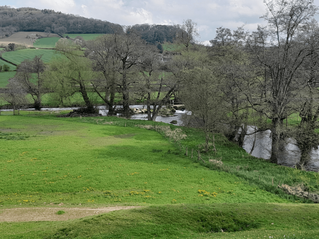
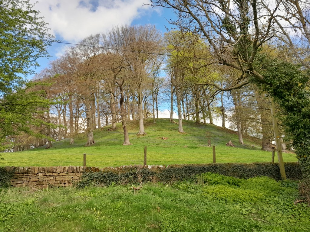
Peak Tor is a steep, tree-crowned hill between Rowsley and Stanton. It is best seen from the north side of the Wye valley, on the old road to Bakewell, from where the ditch and bank earthworks are clearly visible. I walked the site on a chilly April morning, when geese were honking on the river and early swifts were swooping through the ancient trees. The footpath from Rowsley runs past the earthworks and then crosses a narrow valley to reach the hamlet of Pilhough. There are wood anenomes, bluebells and celandines in the grass and a cold wind from the east.
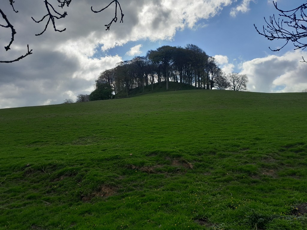
The substantial ditch and bank which surrounds the north, north west and northeast sides of the Tor do not continue round the back, as it were, and so the idea that it was some kind of hillfort or similar doesn’t make sense. The Derbyshire Historic Environment Record is also puzzled: it is not thought to be prehistoric, it could be a medieval hunting park fence, it could be Anglo-Danish. So there is plenty of room for speculation: perhaps it was half-built when the builders were attacked, or the missing section of the defences could have been a wooden palisade.
The south side, from Peak Tor Lane
What is clear is that the Tor is close to the meeting of the Wye and Derwent, well above the floods which often soak these two valleys. It also has a good view of two important routes from Matlock, northwest to Bakewell and north to Beeley and Chatsworth. Clearly something on the hill was worth protecting, or was the structure offering shelter for travellers, as seen on sections of the Portway? Whichever theory you choose, the Tor provides a lovely walk, from Rowsley by footpath to Pilhough and then back to the Wye bridge on minor lanes, although sadly Caudwell’s Mill is no longer offering travellers a cup of tea.
