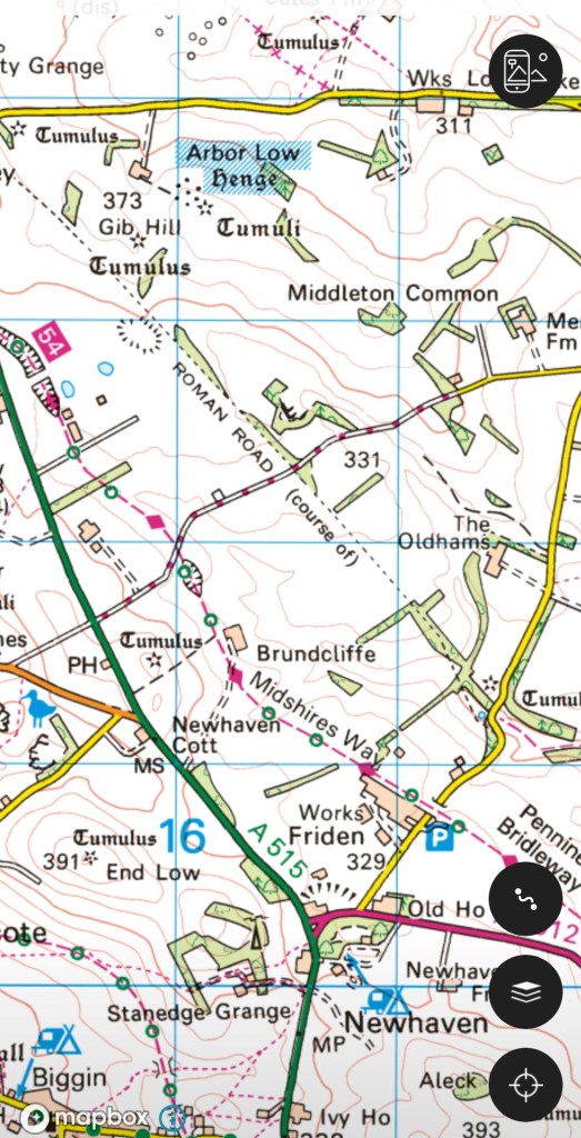
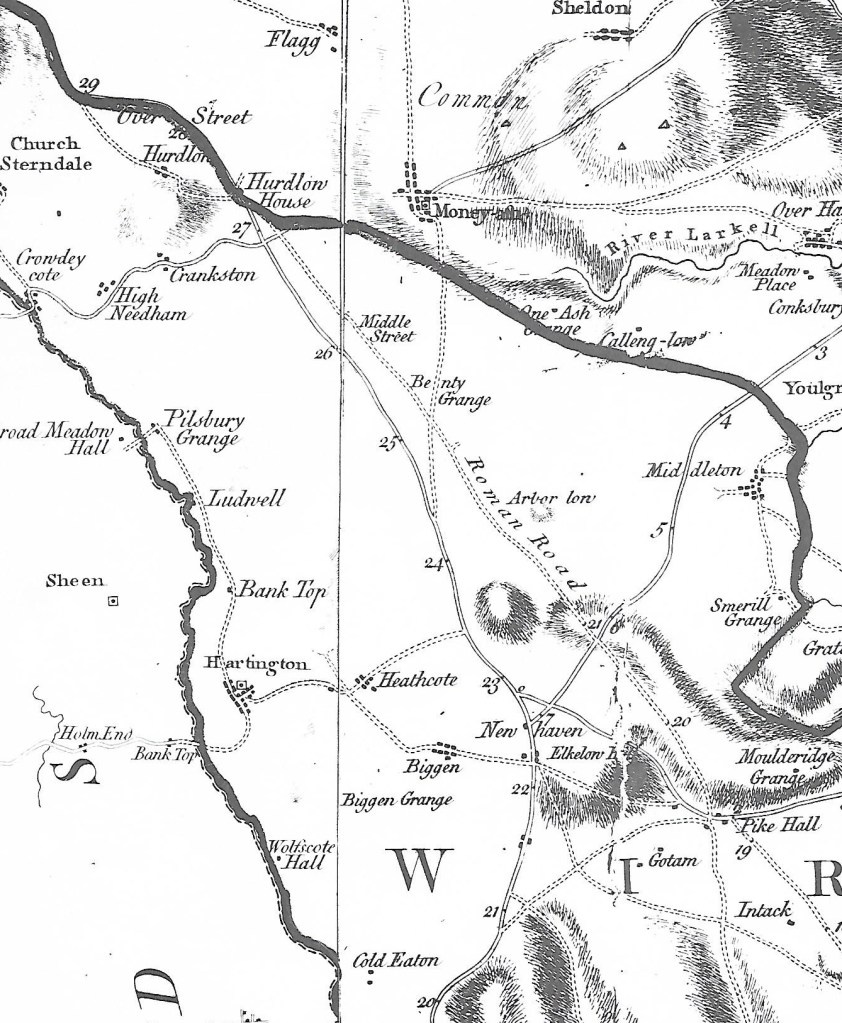
Ryknild Street was the only long-distance Roman road that crossed Derbyshire, coming from Lichfield to the camp at Little Chester and then on to Chesterfield. Part of its route is still used today, notably the A61 from Higham through Stretton and Clay Cross to Chesterfield. There is little trace of the first part, through Breadsall and up to Brackley Gate, but then the route is picked up by Golden Valley and runs very straight to Smithy Houses and Street Lane. This last name, of course, and the village of Stretton, are reminders that Roman roads were always ‘streets’. Ryknild Street is the name given on the OS map, but there are many variations of the spelling, and this name was almost certainly not used by the Romans. The map above, of the area around Pentrich, is one place where public footpaths give access to the line of the road.
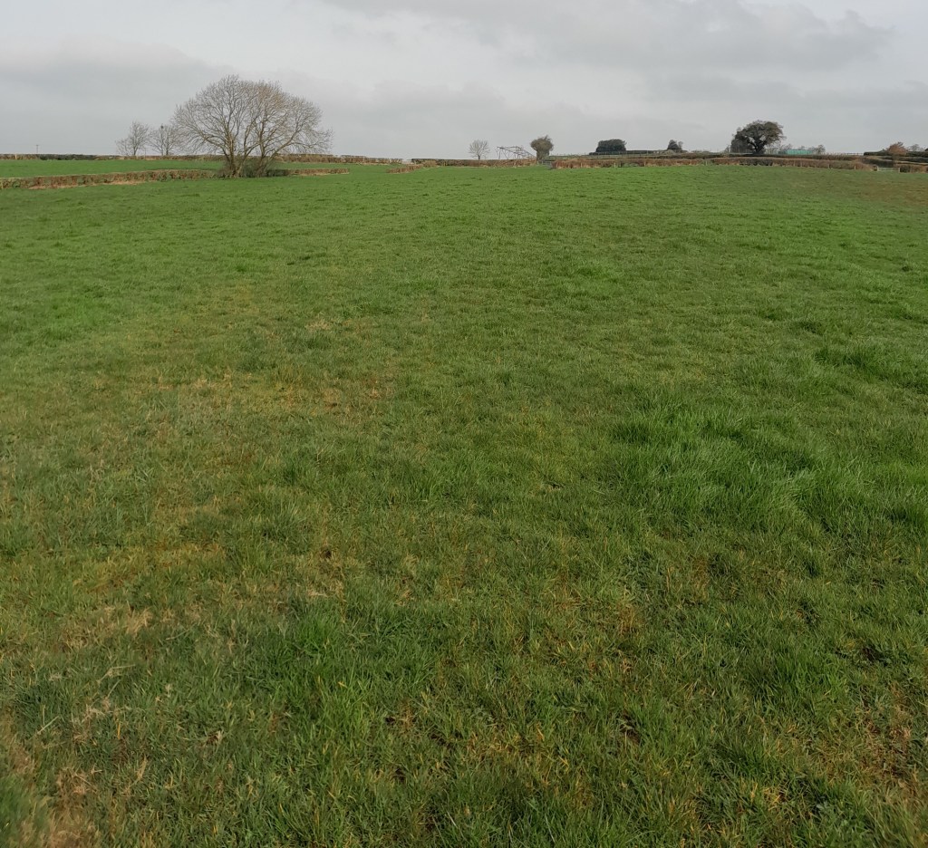
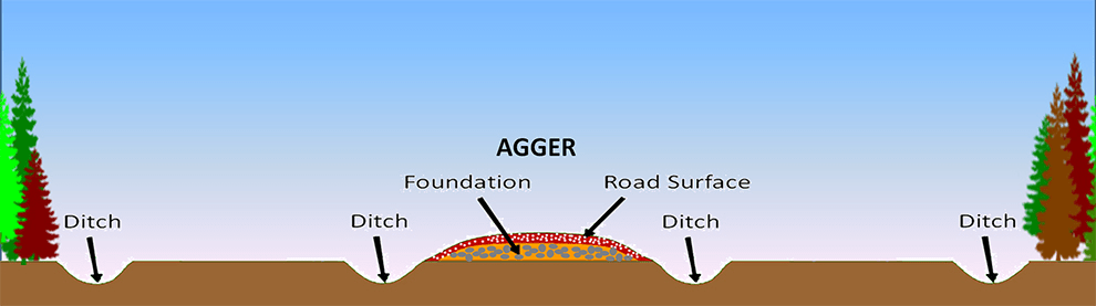
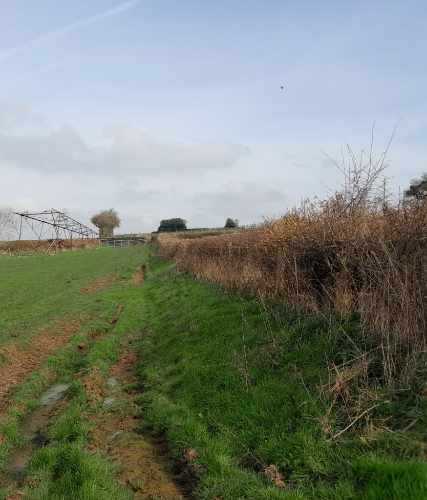
The footpath due west from Pentrich Church crosses the line of the old road at the top of a rise, and the raised platform for the road (known as an ‘agar’) can be just made out in the grass. Following this line north you come to another section of path which runs alongside a hedge – this is one of the few places Ryknild Street can actually be followed (see lower photo). On the other side of Riley Lane there is no trace of the road as it runs through ploughed fields east of Coneygrey Farm. However, just west of the road’s course, on Castle Hill, is what the OS map calls a ‘Roman Fortlet’.
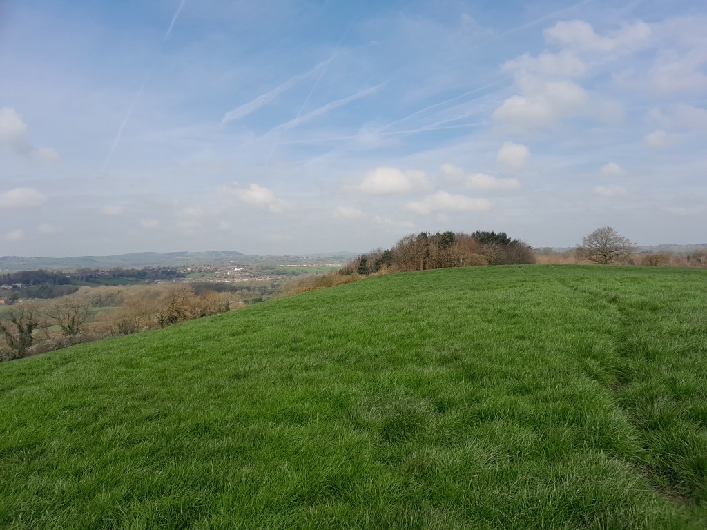
Roughly half-way between Little Chester and Chesterfield, this fort might have offered some shelter to road users but was unlikely to be manned regularly. It can be reached by climbing the quite steep bank from the Oakerthorpe road, but the view from the top is brilliant, and shows that the road builders were keeping to high ground, well away from the Amber floodplain to the west. Possibly they were just upgrading an older route which followed the ridge?
One obvious question is why such well-built roads as the Romans constructed were allowed to go out of use? Of course, in places they were maintained and improved, such as the modern A38 from Lichfield to Derby but other areas such as this may have preferred older routes, or have been unable to organise maintenance, for instance when trees were blown down or drains and culverts became blocked.
For a detailed report on the fortlet see: