Wells, springs and troughs

Dressed well, Tissington

Travellers have always needed to drink, and so have their horses and dogs. Yet on the ancient ridgeways, crossing the limestone hills of north Derbyshire, there are few streams or ponds, and so providing drinking places has been critical. Stone troughs fed by springs are found by many old roads, though it is not clear who first installed them. The four horses needed to haul a stagecoach uphill for a mile or two would have needed a long drink by the time they reached the top of the climb.

St Alkmunds Well, Derby

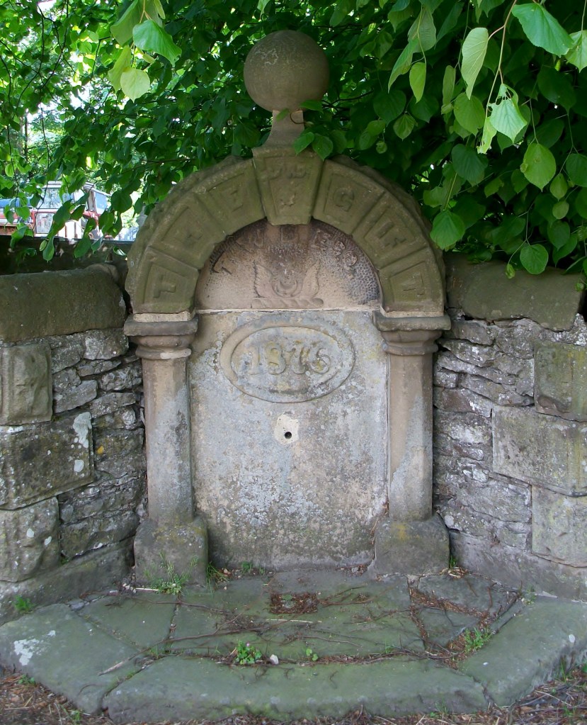
Wells were another source of water, though usually designed just for human use. and more commonly found in villages. Well dressing is a famous Derbyshire custom, and is normally seen as a celebration of a reliable and plentiful water supply – possibly pre-Christian, although now, as the example above shows, co-opted by the Church. Wells have frequently given their name to streets, as with Coldwell Street in Wirksworth or Coldwell End in Youlgrave. Others were sanctified with a saint’s name, such as St Alkmund’s well above, or St Anne’s well in Buxton. It seems likely that the tradition of ‘holy wells’ pre-dates the Reformation in 1539, and in some cases the water from these wells was thought to have a healing value.

Well in Youlgrave ‘The Gift’ 1876

Today it seems shocking how long it took to provide a piped, clean water supply in many Derbyshire villages. Youlgrave was unusual in that it installed its stone reservoir in the centre of the village in 1829 (below), from which local wells such as the one above were supplied. Even today Youlgrave still has its own water supply, independent of Severn Trent. But right up to 1940 nearby Elton people relied on carrying water in buckets from a spring at Burycliffe, half a mile from the village.

Water reservoir, Youlgrave

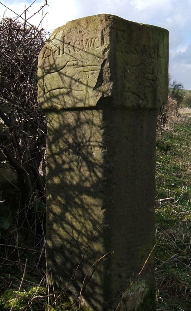
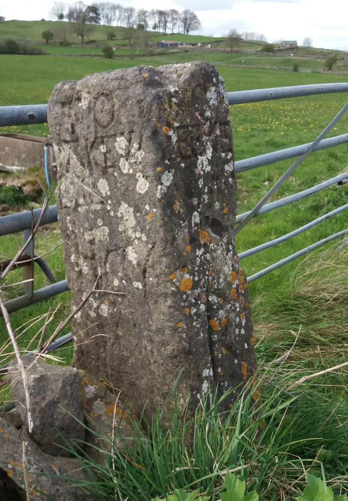
The names of some old wells can be found on large-scale OS maps, for example Lady Wall Well, north of Baslow on the old route over the moor to Sheffield. Sadly, many of these have become filled with rubbish and are easily overlooked. Cleaning and renovating a local well would be a valuable project for a volunteer neighbourhood group, and help to preserve a link with the not-so-distant past.

Conquering the stoop

Guide stoop at top of Crowhill Lane near Bakewell

Nearly fifty of these stone pillars survive in Derbyshire, providing vital clues to the medieval road network. ‘Stoop’ is a Scandinavian word for stone, and they have proved suitably durable, many surviving for over three hundred years. They were erected about 1709 to (belatedly) comply with an Act of 1697 which required direction stones to be put up at road junctions in remote moorland areas, where travellers would be likely to get lost. The majority have inscriptions on four sides, and these should indicate the direction of the nearest market towns. The example above shows a hand pointing to ‘Bakewel’, while the other sides indicate the directions of Tideswell, Buxton and Winster. It is notable that the stone now stands at a T-junction; the fourth route was closed with the opening of the turnpike road on what is now the nearby A6.

Guidestoop above Winster on road to Grangemill

This illustrates one of the values of these stoops: they show the routes that were in use pre-turnpike and pre-maps. The Winster stoop, above, provides another example. It is thought that originally it stood at the end of Bonsall Lane, and indicates Wirksworth, Bonsall and Bakewell. The fourth town marked, however, is Leek, over 15 miles away via Pikehall, but clearly a significant destination at that time. As with some other guide stoops, this one has been used as a gatepost, since most stoops would have become redundant with the arrival of better signposted turnpikes later in the eighteenth century. Nearby, at Shothouse Spring, another stoop (on private land) is no longer on any road or path, although it was clearly erected at a one-time crossroads.

Guidestoop at Alport Height

The Alport stone (showing Derby, Wirksworth and Ashbourne) is another example of a stoop at an apparently remote junction, but clearly thought worth marking in 1709. In fact its position on the Portway suggests that it would have been a more important route at that time. To properly envisage early eighteenth century travel we need to remove most of the dry stone walls and grassy pasture, and go back to a landscape of open scrubby moorland, crossed by the occasional track. In this setting it is easier to imagine the reassurance that the guidestoop would have given the uncertain traveller.

(For a detailed guide to all surviving stoops see ‘The Guide Stoops of Derbyshire’ by Howard Smith)