Toll cottage at top of Bullbridge Hill
The Cromford Bridge to Langley Mill turnpike wasn’t the snappiest name, but the road was intended to provide access to Nottingham from Cromford long before the current A6 route was built. Opened in 1766 it ran beside the Derwent from Cromford Bridge to Lea, then up Mill Lane to Holloway, along Leashaw to Wakebridge, through Crich (where it crossed the Alfreton-Ashbourne turnpike), and down the Common to Bullbridge. Here it went over and then under the Cromford Canal, through Sawmills to Hartshay, and via Ripley to Codnor and finally Langley Mill. At least two of the hills involved, particularly the one at Bullbridge, must have been challenging for horse-drawn traffic.

One of the distinctive cast-iron mileposts
As with many turnpikes, toll collection was auctioned off, and a notice from 1827 announces the annual auction at the (recently renovated) Canal Inn at Bullbridge, where bids for running the six gates had to start at £464, which sum was the previous year’s surplus. It is difficult to identify all the toll cottages today, but the one below, on Leashaw, and the house above, at the top of Bullbridge Hill, are clearly survivors. Until quite recently the Gate Inn, at Codnor Gate, was another reminder of the turnpike’s route. Today the road is still marked by these cast-iron mileposts (although not all have survived), though it seems likely that they are nineteenth-century replacements for earlier stones. It is not clear whether a traveller on the whole route would have paid at each gate, or as seems more likely, only once on exit.

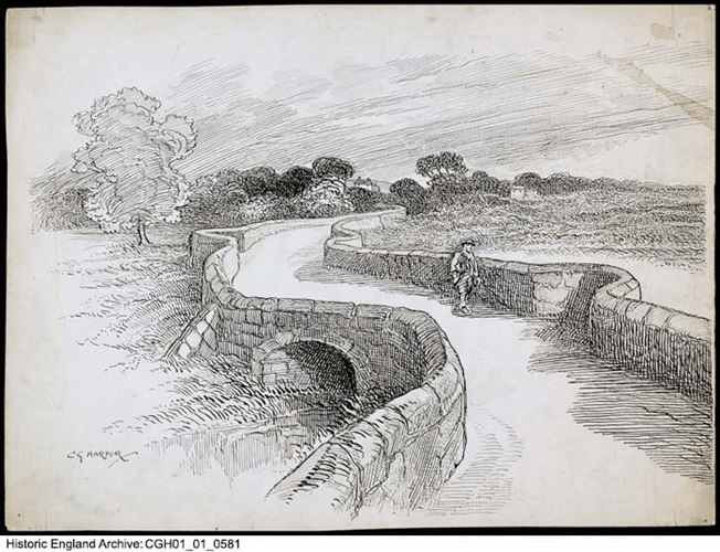
Leaving Holloway via Leashaw today
Curiously this road has been much in the news recently: firstly when the section near Cromford was eroded by the flooded Derwent in 2019, leading to a three-year closure, and now this year when a section of Leashaw slipped downhill due to heavy rain, leaving the road closed to all but cyclists and walkers. The house on the left was the toll cottage for this stretch of the turnpike. Currently there is no date for re-opening the route, despite the inconvenience for local people and businesses, and as can be seen in the picture, nobody actually at work!