Anyone who has travelled in the more Catholic parts of Europe such as Bavaria or Brittany may have seen the roadside crosses which frequently mark the route. Medieval England would probably have had the same, until various acts of parliament after the Reformation ordered their removal as ‘Popish elements’. The cross was obviously the symbol of Christianity (after 692 CE), and it is thought that they were erected for three reasons: as a base for preaching before churches were built, as a waymark for travellers (particularly pilgrims approaching a shrine), and to mark the boundary of monastic estates. In addition to these religious uses, crosses often marked the site of a weekly market.

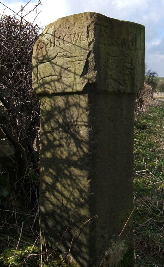
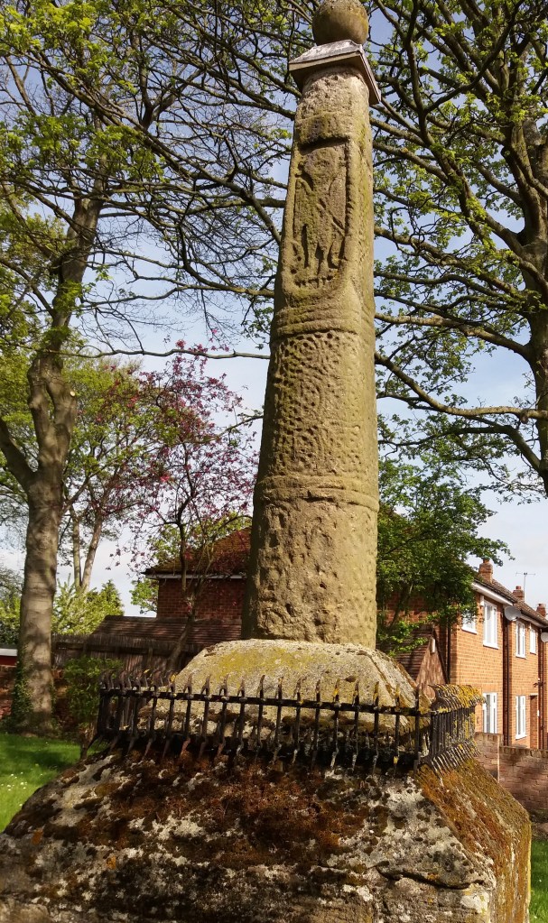
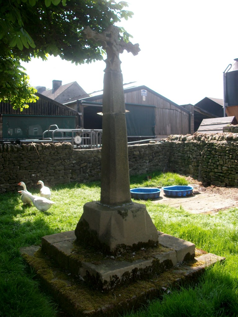
Perhaps because it is relatively remote, Derbyshire is quite rich in the remains of crosses, although the great majority must have been destroyed or lost. Eyam Cross (above) is one of the finest and oldest, although even here a section of the shaft is clearly missing. It is thought to be Saxon work from the ninth century, and its original location is unknown. Not all early crosses had a cross arm: Stapleford Cross (on the Notts/Derby border, below) is simply a shaft with carvings.
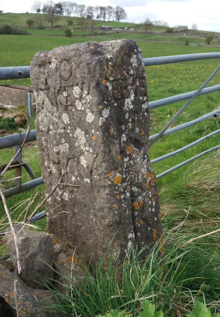
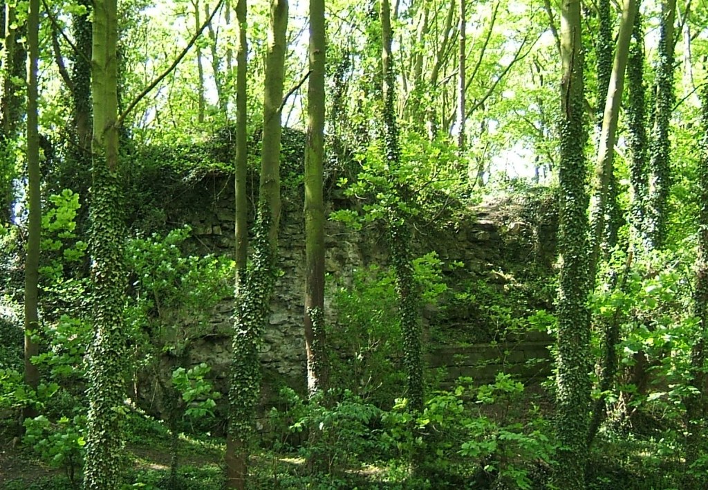
When I first saw the road name ‘Cross Lane’ I assumed it referred to a crossroads, but eventually realised it referred to an actual cross or crosses. One example is at Dethick, where the cross base still survives, half hidden in the undergrowth. But there are others (e.g. at Wessington) which would be worth investigating. Presumably these crosses marked the route to some pilgrimage destination, as would some rare survivals in north Derbyshire such as Wheston.
Clearly this is a subject which offers plenty of scope for further research by historians, since there are now so few traces of what must have been a significant feature of medieval life. A good starting point is Neville Sharp’s excellent book: Crosses of the Peak District, which includes crosses in parts of Cheshire and Staffordshire.