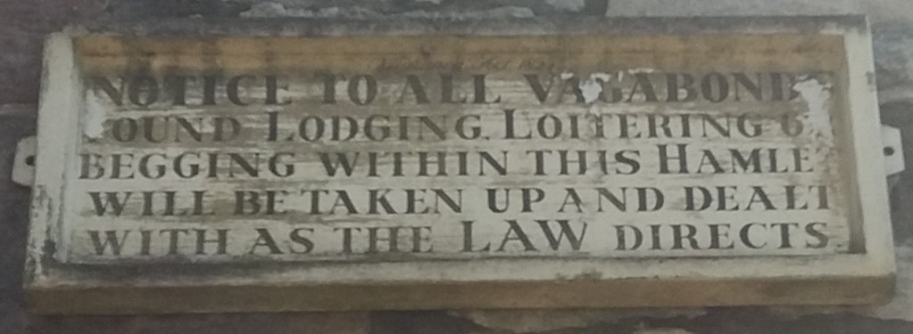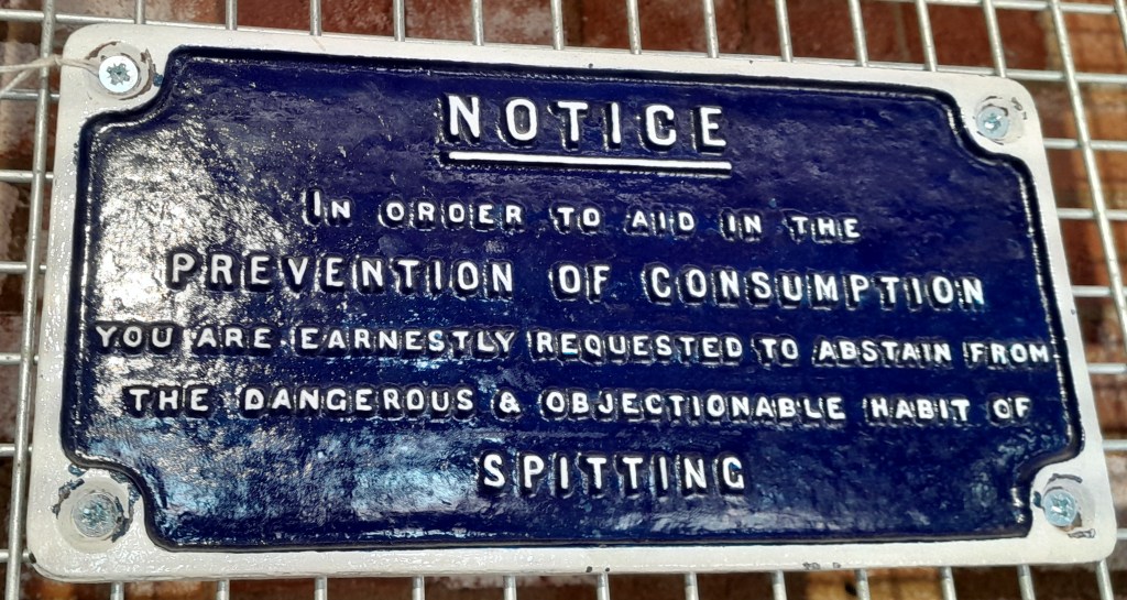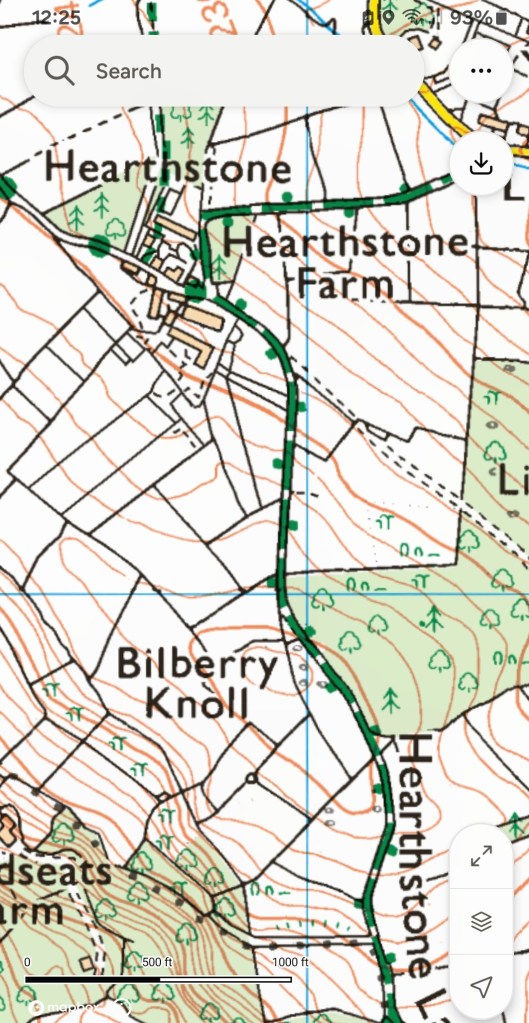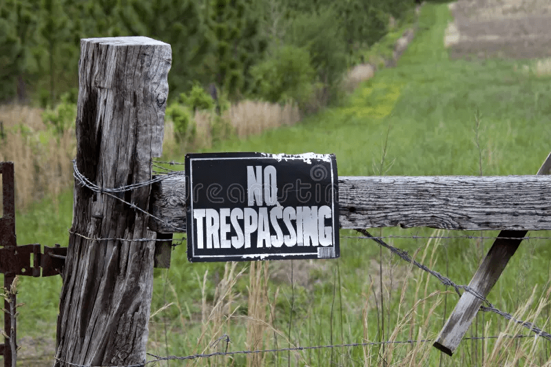
The fear of being caught ‘trespassing’ is still common, which is perhaps why towpaths and ex-railway trails are so crowded with walkers. But defining exactly what trespassing means in law is difficult, and in most cases it is only a civil offence, meaning that few landowners would bother to prosecute. But the fear of being confronted by an angry farmer is still potent, even if the days of gamekeepers and their shotguns, or even mantraps, have long gone.
The situation is nicely depicted in DH Lawrence’s early (1910) story The Shades of Spring. A young man, Addy, who was brought up in this district on the Derbyshire/ Nottinghamshire border, but who has now moved away, is revisiting his old haunts. He is walking through the woods to the farm where his ex-sweetheart, Hilda, lives, but in the wood his path is blocked by a young gamekeeper:
‘Where might you be going this road, sir?’ The tone of his question had a challenging twang.
The use of ‘sir’ reveals the keeper’s dilemma: was he speaking to a gentleman or one of the local colliers? A guest at the ‘House’ would be free to go where they wished, but in the story Addy tells the keeper, Arthur, that he’s been away from the area for years, and he’s on his way to Hilda’s farm. Arthur then reveals that he’s now courting Hilda, and clearly resents Addy maintaining his friendship with her through correspondence. After a difficult conversation Addy continues on the path to the farm, despite Arthur’s sullen objections.
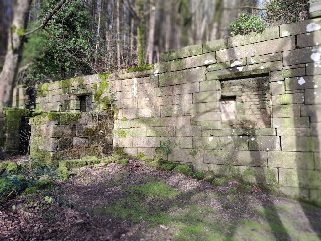
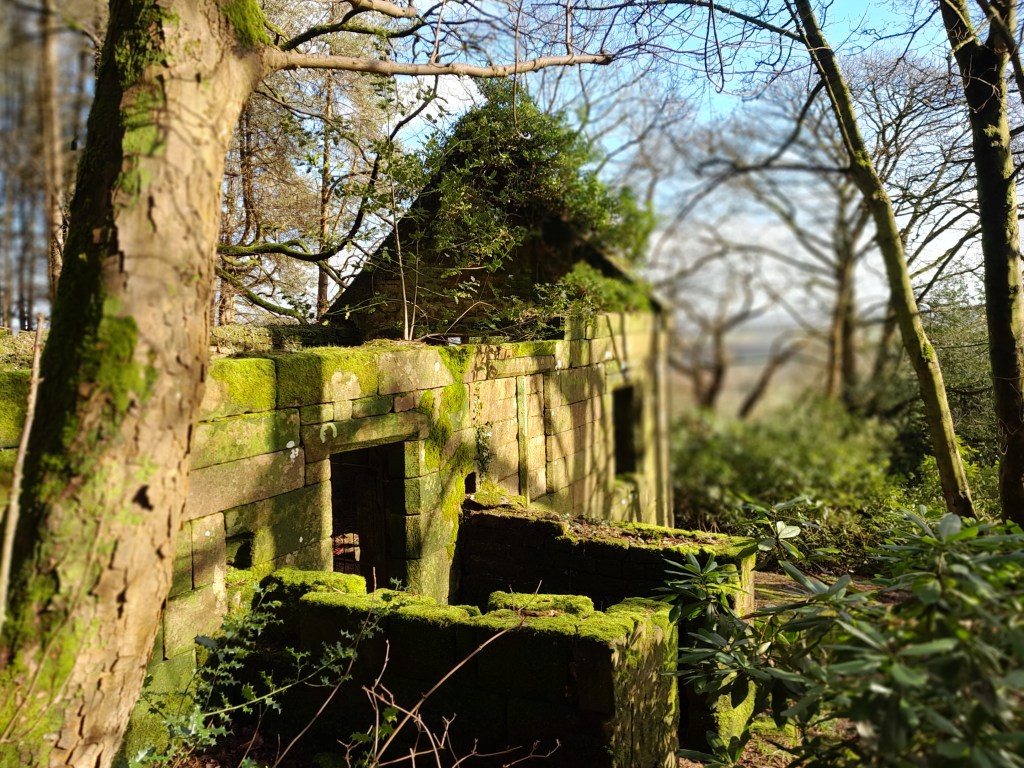
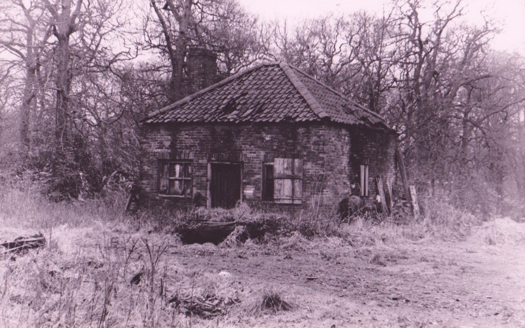
Like much of Lawrence’s early fiction this story is partly based on his own life. His unhappy relationship with Miriam Chambers, who lived at Haggs Farm near Felley Mill, Moorgreen, is famously depicted in his Bildungsroman ‘Sons and Lovers’. Lawrence had idealised Miriam as a spiritual being, when, as this story shows, she was more interested in a physical relationship than French poetry. The story concludes with her showing Addy the woodland love nest that Arthur had created for her, a cabin erotically if improbably furnished with animal skins. This is an interesting forerunner to the hut in ‘Lady Chatterley’s Lover’, written much later, in which Mellors had his tryst with Connie. The model for both could have been this rather shabby shack in High Park Wood (below), almost certainly known to the young writer.
So the story deals with two kinds of trespass: entering private land, but also Addy’s attempted trespass on Hilda, who Arthur clearly believes is now his private property. The story concludes when Addy is about to reluctantly depart; Arthur is stung by a bee, and, in a powerful image, Hilda sucks the poison from his arm, and oblivious to the now-forgotten Addy, the couple begin a passionate kiss.