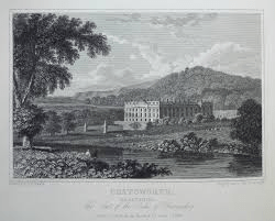
Macmillan published the first book in their Highways and Byways series in 1898 and, remarkably, the last in 1948; a total of nearly 40 titles covering most of Britain. All are detailed guides with plentiful illustrations by respected illustrators. Well-bound in hard covers with gilt lettering, the series must have been popular as copies can still be bought quite cheaply from second-hand sources. The volume on Derbyshire was quite early, in 1905, written by JB Firth and illustrated by Nelly Erichsen, who was from a Danish family.

The author, unusually, writes from the viewpoint of a walker, so that the reader can follow his progress in detail, which is especially interesting if the reader knows an area well. Clearly there are many changes to the scenery 120 years later; for instance at Ambergate then-triangular station: ‘the station becomes simply a hideous deformity, and the adjoining kilns of Bullbridge throw up fleecy masses of white clouded smoke’. In Edwardian fashion there are many digressions in the form of stories of famous folk who have lived locally, and Firth is not afraid of copious quotations of poetry, but these rather add to the book’s charm.

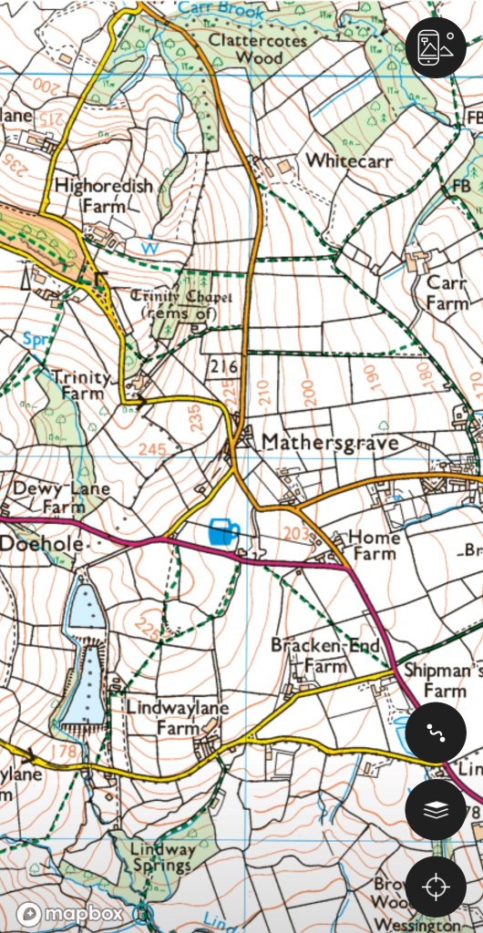
Another value of the book is the recording of otherwise lost data. For example, the footpath that runs uphill from Pentrich mill to Pentrich church (see map above) is today simply a field path. but in the 1900s was clearly more: ‘This broad track used to bear the name of Deadman’s Lane, not from any relics which have been found there but because by this way dead men were borne to their last resting place in Pentrich churchyard‘. Firth also says that higher up, near the church, the line of the Roman road, Ryknild Street, was still marked with hedges.