The ruins of Wingfield Manor are an impressive sight, on a hill overlooking the River Amber and above the village of South Wingfield. The manor was only a mile west of the old Roman road known as Ryknield Street, from Derby to Chesterfield and Sheffield, still a major route but now the A61. This road would have been convenient for the second owners of the Manor, the Talbot family, Earls of Shrewsbury, who also owned Sheffield Castle and Sheffield Manor.
The buildings were deliberately ruined during the Civil War to prevent their use by Royalist forces, after a Parliamentary siege in 1644. Since the eighteenth century the structure has been effectively abandoned, although substantial ruins have survived. The most famous occupant was Mary Queen of Scots, imprisoned here for some years from 1569, in the care of the sixth Earl of Shrewsbury and his wife, Bess of Hardwick.

Clearly such an extensive ruin with famous associations should attract flocks of visitors. The Manor is in the ‘care’ of English Heritage (“unlimited access to hundreds of historic places” – website) but is firmly shut up, as it has been for several years. Their web page says: ‘currently closed for the safety of visitors, and no public access is allowed’. A meaningless statement that explains nothing.
Over a hundred years ago no such restrictions applied. DH Lawrence paid a visit at Easter 1905 with a group of friends, a visit which he fictionalised in his novel Sons and Lovers:
‘The young folk were in raptures. They went in trepidation, almost afraid that the delight of exploring this ruin might be denied them’.

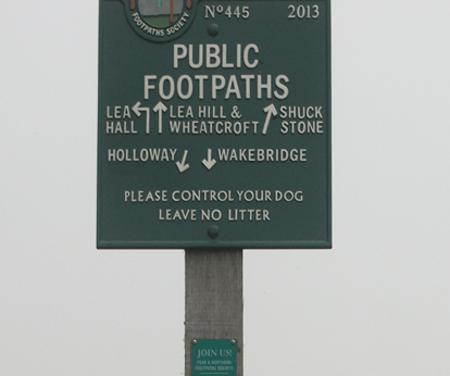
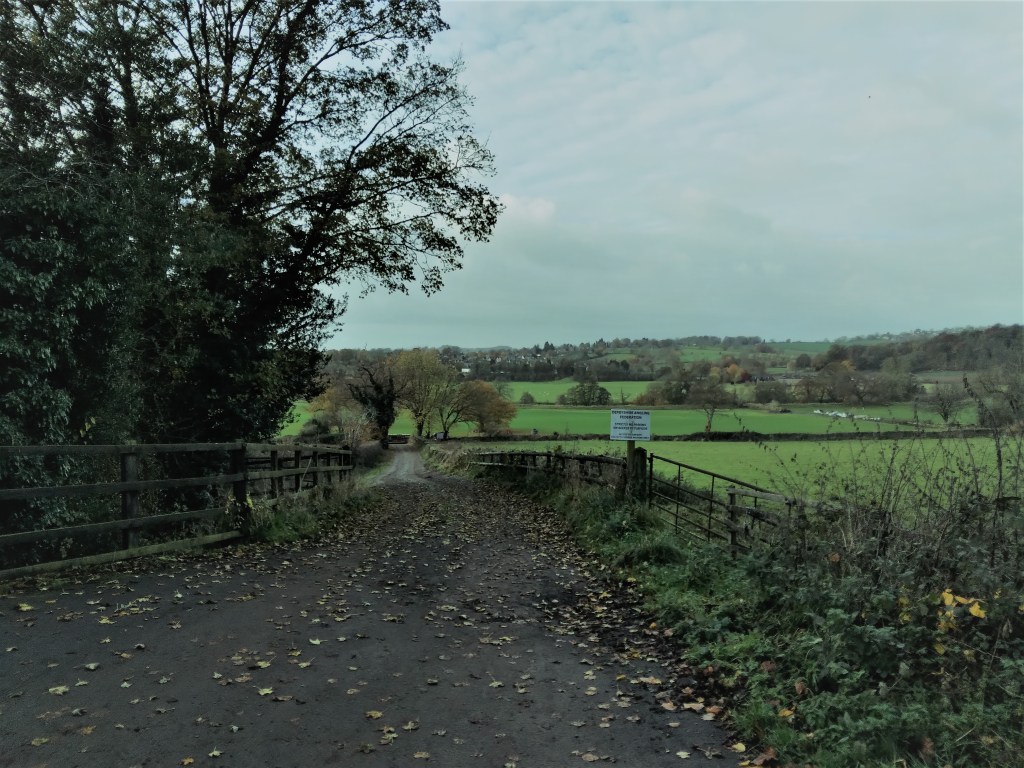
However, despite the best efforts of English Heritage, it is possible to get a good view of some parts of the ruin by following the public footpath around the back. Starting from the village and heading south, follow the track downhill, beside the garden wall of Wingfield Hall. Cross the stream at the bottom and bear right uphill. The ruins of the Manor can be clearly seen on the right.