

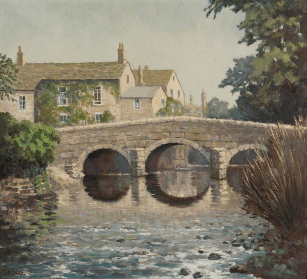
Driving on the busy A623 through Baslow today, it is easy to miss the medieval bridge next to St Anne’s church. Yet this was part of an important route in the eighteenth century: carrying the turnpike from Monsal Head to Chesterfield, while before then it carried packhorse traffic heading for East Moor and Sheffield. In 1500 an order was issued forbidding the carriage of millstones over the bridge; presumably their weight was damaging the earliest structure (which may have been wooden at that date). The small stone hut at the end of the bridge is sometimes called a watchman’s shelter, but elsewhere it is presumed to be for a toll collector. However the entrance is so low it is hard to imagine how this would work, unless the job was given to a child!

The old route can be followed from the bridge by crossing the main road and following School Lane uphill. This takes you through the heart of the old village but then continues more steeply uphill as Bar Road. Although this name may suggest a barrier or turnpike, according to Dodd and Dodd (1974) Bar was a name widely given to tracks that led down from the moors. Rather confusingly, Burdett’s map of 1762 tautologically names the river that flows through Baslow into the Derwent ‘River Barbrook’. Higher up Bar Road, beyond the houses, is the Lady Well, providing a welcome drink for travellers and their animals before climbing the last stretch up onto the moor. Once on the top, various landmarks such as the Eagle Stone and the Wellington Monument provide guidance.

Hi Steve,
Another interesting read.
The Barbrook River flows from the Barbrook Reservoir down to the Derwent. Perhaps originally the name meant ‘river from the moor’.
Best wishes,
John
LikeLike