

Walking near Tissington the other day I stopped for a drink of water, and propped my walking pole on what I took for an old gatepost, embedded in the rather ragged hedge. Then I realised it wasn’t a gatepost, but was inscribed on the side facing the lane. The inscription was finely carved, in serif lettering, but was difficult to read, being partly covered in moss. I finally decided it reads, in part:
From
London
(illegible)
Miles
(Illegible)
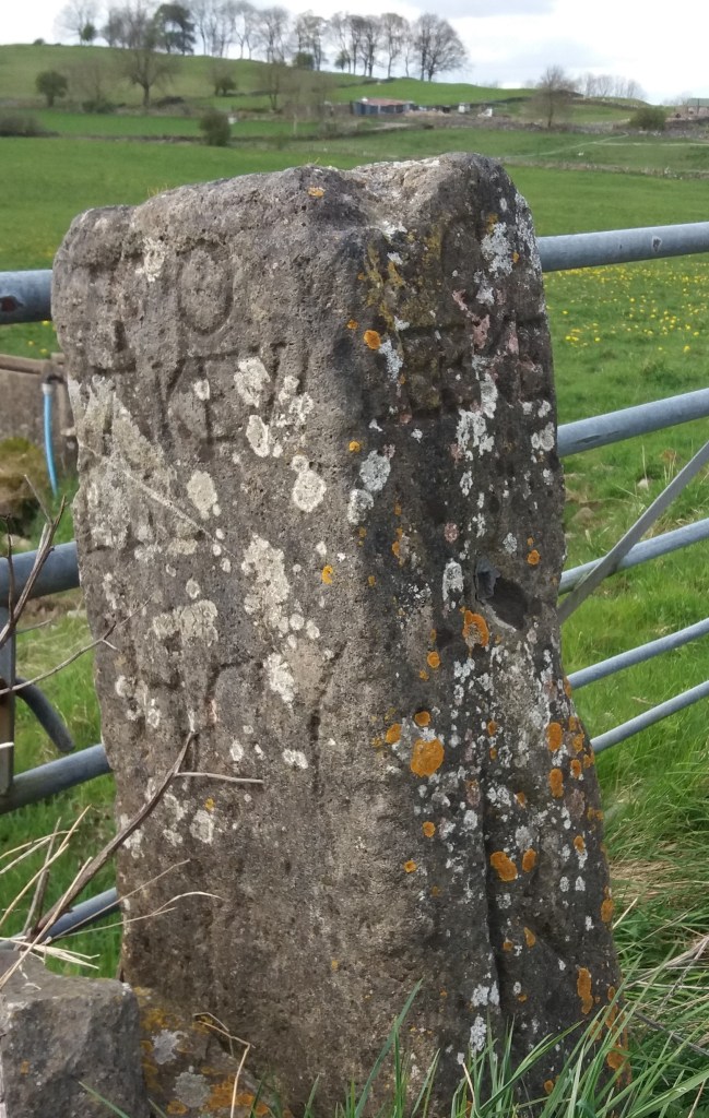
Clearly this was not a guide stoop, which, as the example above shows, were inscribed on all four sides with the distance to the nearest market towns. The Tissington stone seems to only show the distance to London – not the most useful information for the traveller here. Moreover, it is located on a lane running east to the ford and nearby Bradbourne Mill, which seems an unlikely route to London: the obvious way to the capital was via Ashbourne and Derby.
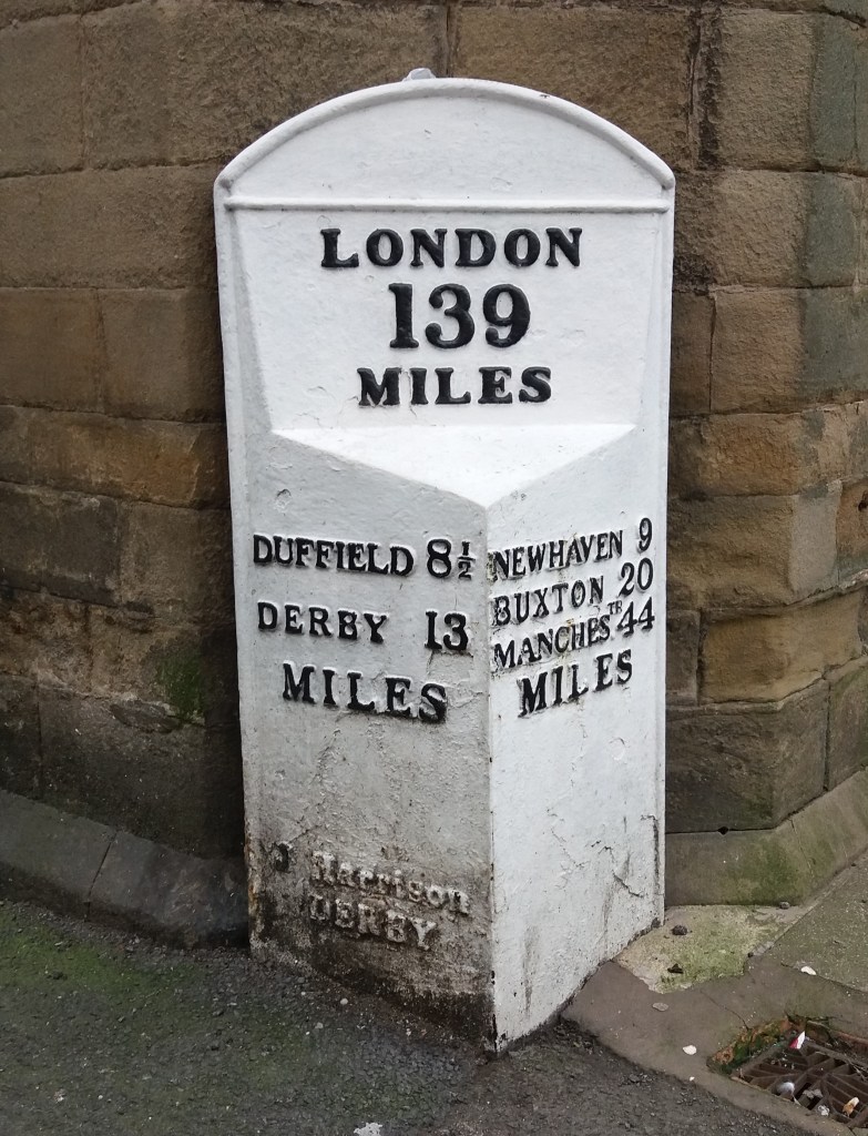
Another, much later example of a marker showing the distance from London is found in Wirksworth, by the town hall. This version also gives the mileage to key towns on local turnpike routes. Again few travellers would have needed to know how far they were from London, but the marker does link the local community to the prestige and glamour of the capital. Could this be the motive for the Tissington stone – to associate this remote village with the majesty of London?
Any better ideas welcome!
