Love in the slow lane

The Long Engagement’ by Arthur Hughes (Birmingham Art Gallery)

Before the mid-twentieth century many homes were overcrowded, with a lack of privacy that would surprise younger people today. Furthermore, parents were often inclined to supervise their children’s indoor behaviour, so that most ‘courting’ took place out of doors, away from adult eyes. This applied equally to middle-class people: in the Hughes’ painting above a curate is meeting his fiancee in the woods, where ivy has grown over their initials carved into a tree, symbolising their lengthy enforced wait until he can afford to marry.

Path from Crich to Chadwick Nick

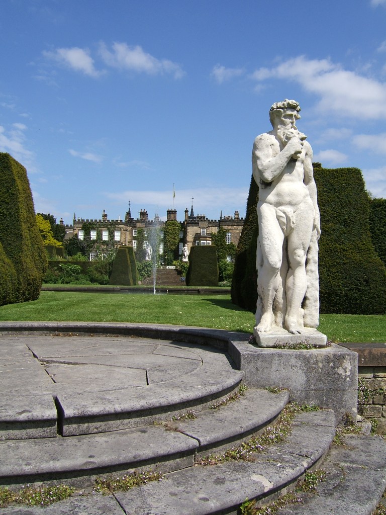
Most towns and villages would have had a ‘lovers’ lane’ where courting couples could find some privacy, as in the Crich footpath above, which still has boulders carved with sets of initials. Suitable venues would not be too far from habitation, nor the paths too rugged for girls dressed in their best! The situation is well-described by DH Lawrence, always an honest depictor of working-class life at the turn of the twentieth century, in ‘Sons and Lovers’, when Paul and Clara take the Clifton path by the River Trent:

He held her fast as he looked round. They were safe enough from all but the small, lonely cows over the river. He sunk his mouth on her throat, where he felt her heavy pulse beating under his lips. Everything was perfectly still. There was nothing in the afternoon but themselves.

Statue of Lawrence at the University of Nottingham

Lawrence’s early stories and novels also give us a good idea of what were then acceptable distances for walking, either for work or pleasure. In 1905 public transport was limited and bicycles were only for wealthier people. On another occasion in ‘Sons and Lovers’ Paul and Clara are out in the hills after dark and she says that she needs to hurry back to the station to get the last train home to Nottingham. He says:

‘But you could easily walk it Clara, it’s only seven miles to the tram. I’ll come with you’.

It’s hard to imagine any contemporary lover thinking that an extra half hour with their darling was worth a two hour walk!

A trip to London in the 1660s

Renishaw Hall, home of the Sitwell family

The reality of travel for the wealthy in the 1660s is illustrated by Sir George Sitwell’s description of his ancestor’s annual visits to London from Renishaw Hall, at Eckington near Sheffield. This was usually at the end of April, when the roads were again passable:

His plans were laid a month or six weeks in advance, and a week or ten days before starting a box or trunk of clothes was sent on by carrier. He left Renishaw at seven o’clock in the morning, attired in a riding suit, top boots, a horseman’s cloak and a ‘mounteroe’ or Spanish travelling cap, of velvet. Pistols were borne in the holsters, for Sherwood was a noted haunt of highwaymen’.

He was accompanied by a footman, dressed in livery, carrying more clothes. It was a four day journey; the first night spent at Nottingham, the second at Harborough, and the third at Dunstable, with an average stage of about thirty miles.

‘In London, Mr Sitwell frequented the Greyhound Inn in Holborn …. and there he paid about eight shillings and fourpence a week for chamber rent and washing, and eighteen shillings and eightpence for hay and corn for his horses. Food and minor expenses came to about £1 6s. 8d. a week.

His stay in London usually lasted about a fortnight, and allowed him to meet family and friends as well as attending to business at his lawyer’s. He was also able to keep in touch with the political world via his cousin, Roger Allestry, an MP. But the fact that this trip required spending eight days on the road well illustrates the reality of seventeenth century life.

Sir George Sitwell, ‘Country Life in the Seventeenth Century’, in ‘Memorials of old Derbyshire’, 1907, Ed. C. Cox

The name of the lane

Road name near Holbrook

Although name signs like this are relatively modern, roads have been named for hundreds of years, and today road names are a useful resource for historians. We do not know what names the Romans actually gave their routes, but after their departure they were called ‘streets’ as in Ryknild Street, which ran from Derby to Chesterfield. Many place names e.g. ‘Stretton’ reflect this. Anglo-Saxons used the noun ‘way’ for their roads, and this survives in many expressions such as ‘highway’ and ‘byway’. The word ‘road’ was not common until the seventeenth century, and may be derived from the verb ‘rode’.

The most obvious type of name gives the destination of the road, hence Chesterfield Road or Brassington Lane. Another refers to some feature found on the road, either natural or man-made, such as Chapel Lane or Cuckoostone Lane. In the case of an ancient route like Hearthstone Lane, running from Cromford to Riber, there is no obvious Stone, raising the question ‘Where was it?’

Hermitage Walk, Nottingham

This sign in The Park in Nottingham is a valuable clue that the ‘Walk’ led to an ancient group of caves (now inaccessible) that contained a rock-cut chapel. Other names refer to the state of the road: Long Lane, Marsh Lane, New Road. In this last case, the name suggests that there is an ‘old road’ that could be investigated.

Many road names refer to natural features using archaic vocabulary. ‘Shaw’ or ‘Carr’ names are common in Derbyshire, and mean a wood on a steep slope, as in Leashaw, Upper Holloway. ‘Sitch’ is Anglo-Saxon for a small stream. ‘Well’ endings as in Bakewell suggest a natural spring.

A few names refer to an individual, either familiarly in ‘Samuel’s Lane’ or more grandly with ‘Via Gellia’, named by Anthony Gell, the road developer, after himself in pseudo-Roman style.

Road sign on the Ridgeway near Heage

But there will always be names that elude discovery, or can only be the subject of wild guesswork. What’s the story behind Lickpenny Lane, for instance, or the Clatterway at Bonsall? Or did Wapentake Lane near Kirk Ireton really lead to the site of the ancient Wapentake?

Inn or ale-house?

The Red Lion at Wirksworth

How long have inns offered roadside refreshment to travellers? Not an easy question to answer, since many claim to be the ‘Oldest Pub in England’ or something similar. Nottingham has at least two claimants, The Trip to Jerusalem and The Bell, while in Derbyshire the Holly Bush at Makeney has clearly served a few pints over the centuries. The pilgrims in ‘The Canterbury Tales’, written in the late fourteenth century, stayed at the Tabard Inn in Southwark, so clearly inns were part of medieval travel.

However, the early eighteenth century saw a significant growth in travel, due to road improvement by the turnpike trusts and the invention of coaches with steel springs, cutting journey times and making travelling a little more comfortable. To cater for the expansion of stagecoach routes coaching inns were built or developed, often with the characteristic arched entrance to allow the coach and horses to enter the interior yard, where stabling was provided. To maintain good timing, horses had to be changed regularly, and grooms and ostlers were needed for their care.

The Holly Bush at Makeney

There was an important distinction between inns and ale houses. The former offered accommodation as well as food and drink, while the latter were more down market and, as the name suggests, dealt mainly in (possibly home-brewed) beer. But even in the inns there were class distinctions: gentry in their private carriages or on horseback were more welcome than the occupants of stage coaches, while those on foot were often turned away. The owners of inns were frequently caricatured as greedy and grasping, in particular landladies, while the chambermaids were often portrayed as warm-hearted and generous.

This is the situation shown in Fielding’s humorous novel ‘Joseph Andrews’ (1742), which vividly portrays life on the road. Joseph, the hero, is robbed at the roadside, but is rescued by a passing coach and taken to the nearest inn, the Dragon. The company are sitting in the kitchen by the fire:

The discourse ran altogether on the robbery, which was committed the night before, and on the poor wretch, who lay above, in the dreadful condition, in which we have already seen him. Mrs Tow-Wouse said, ‘she wondered what the devil Tom Whipwell meant by bringing such guests to her house, when there were so many ale-houses on the road proper for their reception? But she assured him, if he died, the parish should be at the expense of the funeral.’

Hermits and their hermitages

Sneinton Hermitage

Hermits are generally imagined to be solitary recluses, who adopted an isolated life to focus on spiritual matters. Yet little is known about the lives of individual hermits, which are first mentioned in Britain about 700 CE. Most surviving ‘hermitages’ are natural or man-made caves, and a remarkable feature of our region is the four hermitages on the route of the Portway; two in Nottingham and two in Derbyshire. This distribution suggests that the hermits who lived there helped travellers on the road, either with practical information or possibly with their religious issues. Hermitages were sometimes linked to a monastery or abbey, and in our case one was connected with Lenton Abbey west of Nottingham, while Dale Hermitage was a forerunner to Dale Abbey, built close by.

Nineteenth-century painting of ‘druidical remains’, Nottingham by W. Bradbury

Sneinton Hermitage, a mile east of the centre of Nottingham, is cut into the sandstone rock on which much of the town was built. It is now protected by steel railings, and was apparently larger before the site was developed by railway construction. Travellers disembarking from boats on the River Trent would have approached the town this way.

The second hermitage, illustrated in the painting but wrongly described as ‘druidical remains’, is now on private ground behind a modern block of flats on Castle Boulevard. Hermitage Walk, a street in the Park above, used to give access to the caves, which, judging by the painting, were given a parkland setting at some point. The most unusual feature of this group of caves is a rock-cut chapel known as St Mary de la Roche, which may have been the work of friars and could have been a pilgrimage centre before the site was acquired by the monks of Lenton Abbey in the thirteenth century.

Dale Hermitage

The third hermitage, and the most accessible, is in an idyllic woodland setting near Dale in southeast Derbyshire. At this point the Portway descends a steep slope, and a hermit could have given travellers practical guidance. The photo shows a series of holes cut in the rock face above the door, which presumably allowed a wooden extension to be built in front of the cliff face. According to legend, a Derby baker was told in a dream to come and live in Depedale, and he was the predecessor to the monks who established the Abbey, now almost entirely demolished, in about 1200 CE.

Cratcliffe crucifix

Cratcliffe Hermitage can be found by forking off the main path up to Robin Hood’s Stride on Harthill Moor. It’s a bit of a scramble to reach it, but the position is spectacular, looking back over the Portway towards Winster. The rock opening is flanked by two old yew trees, presumably planted in the nineteenth century, and railings protect the remarkable carved crucifix on the wall inside. Unusually, there is a record in the accounts of Haddon Hall (only two miles away) of the hermit selling rabbits to their kitchen in 1550, so apparently he had survived the Dissolution of a few years earlier.

Taken together, these four sites provide a possibly unique insight into the reality of medieval travel. Among the various types of wayfarers would have been pilgrims, heading for shrines in Dale or Lenton Abbeys, who may have supported the hermits in return for their prayers for a successful journey. Other travellers would have been glad of information about the next stage of the journey, and possibly suggestions about where to find food and shelter for the night.