Millstoned

If you go down to the woods today …

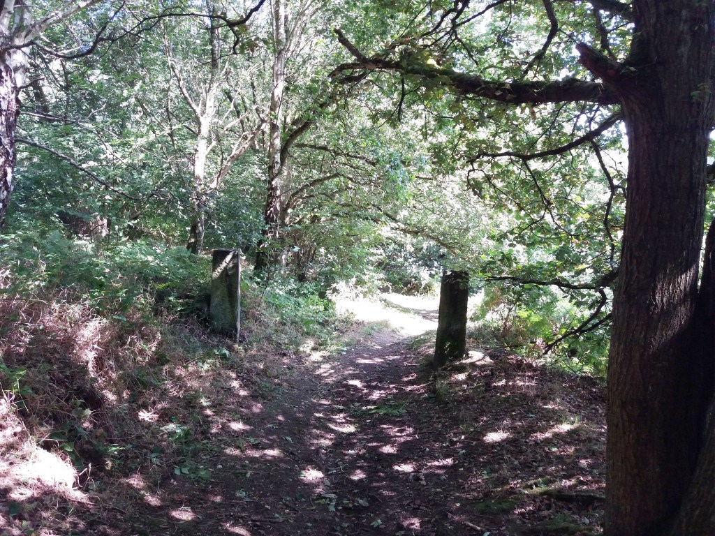
The stone I found in my local woods recently is typical of the thousand-odd millstones scattered around the Peak District – and are used as a symbol for the National Park. Clearly fashioned from the gritstone of the ‘edge’ behind me, this example raises some intriguing questions: who made it? why was it abandoned? how was it transported?

On Stanage Edge

Both wind and water mills used pairs of millstones to grind grain between them; the stones were about 1.8 metres wide and each weighed nearly 2.5 tons. Millstone grit from North Derbyshire was considered the best material for these, and in the late seventeenth century a pair would cost about nine or ten pounds, reflecting the skill and effort required to make them. Most production seems to have been small-scale; perhaps providing winter work for farmers, and may have been concentrated in the Hathersage area and along the ‘edges’, but there is also documentary evidence of manufacture at Alderwasley, Crich and Holloway. However, in the eighteenth century, with rising standards of living, demand for white flour increased and milling this needed finer chert millstones. Quite suddenly, the traditional stones were unwanted, and this may account for the numbers that were abandoned – although some may have cracked or had other defects.

Keep them rolling …

One minor mystery is how such heavy, valuable objects were transported, given that they were sold all over England and exported to the Continent. The sites of the quarries were often remote from the nearest road, so they may have been rolled in pairs, fitted with a wooden axle, until they could be craned onto a cart. In 1676 a miller at North Elmshall paid seven shillings and sixpence for carrying his new stones 22 miles. At Baslow there were complaints about loads of millstones weakening the bridge over the Derwent, and fines for offenders, which suggests fairly heavy traffic. As with lead, Bawtry was the main inland port for shipping millstones, both for export and to other English regions. But perhaps the biggest mystery is how the semi-amateur masons were able to produce such precisely cut stones with the crudest of tools.

Leashaw: A road to nowhere?

Follow diversions

Road building in Derbyshire can be fraught, especially on steep-sided valleys. At times roads become too expensive to maintain, as happened with the road below Mam Tor, which was abandoned in the 1970s after frequent landslips due to the unstable geology. Following the exceptionally wet autumn and winter of 2023-4 several routes are currently closed, such as Beeley Lane. The village of Holloway has been badly affected; first the Cromford to Lea Bridge road was closed for over a year after flooding from the River Derwent in 2019, and then shortly after that was re-opened the Holloway to Crich road was closed due to a landslip undermining the pavement. This has now been blocked for over a year, and the County Council is not planning to start repair work until mid-2025.

This stretch of road was originally part of the Cromford Bridge and Langley Mill turnpike of 1766, built before the A6 provided a smoother, lower route. The house on the left, above, was one of the toll collectors’ cottages. At that time this would have been a narrow lane with just enough width for two carts or carriages to squeeze past. A report in the Derby Mercury in 1897 of a public meeting in Crich shows that the problems with this road are longstanding:

Mr Shaw brought forward an important matter, that of repairing the turnpike road leading from Bull Bridge to Holloway, stating that he thought, with many others, that the road ought to be taken over by the Derbyshire County Council. It was, however, clearly proved by Mr Dawes and other gentlemen that the County Council had been repeatedly requested to take over this road, but would not do so, their excuse being that there was insufficient through traffic. 

Walkers and cyclists only

It appears that the road was widened, surfaced and the pavement built in the 1930s, by which time the DCC had been obliged to take over maintenance. ‘Shaw’ in place names can mean a wood on a steep bank, and this accurately describes the route on both sides of Wakebridge, and explains why it is so difficult to maintain.

The good old daysthe Cliff pub

The situation is not just inconvenient for Crich and Holloway people. Several businesses are struggling with the lack of passing trade: Maycock’s Butchers and the Chase Cafe at the Holloway end, and the Cliff pub (above) at the edge of Crich. It seems that over 250 years after the turnpike was opened, a much wealthier society is unable to keep it open.

Unwillingly to school …

The young Alison

Today few young children walk to primary school alone, for a variety of reasons including parental perceptions of danger. In fact, the image of mum in a large Range Rover driving her offspring to the school gates has become a cliche. Yet 150 years ago children who were lucky enough to go to school often had to walk for miles, especially in rural areas. To some extent this walking may have formed part of their education, as was the case with Alison Uttley, who later became famous for her Little Grey Rabbit books. Alison grew up in a struggling farming family at Castletop Farm between Cromford and Lea Bridge. She didn’t go to school until she was seven, due to the remoteness of their farm on Hearthstone Lane.

Lea Primary today

Lea Primary School on Church Street, Holloway was chosen by her parents due to its good reputation. But the journey home, although only a mile and a half long, meant walking from school down to Lea Road, past John Smedley’s mill at Lea Bridge and then climbing up through Bow Wood on what is now a rough track (but which was the old road before the turnpike was built by the Derwent), and emerging from the wood just below the farm. Alison had to do this walk twice a day, in all weathers, and in winter the homeward stretch would be in the dark, for which she was given a lantern.

The path through Bow Wood

Clearly the fears she felt on her walk had a major impact, for she describes the journey in several books:

“I set off home, running for the first mile, for it was downhill and easy. Then I passed a mill and walked up a steep field where cows grazed. I came to the wood, and stopped at the big gate to light the candle in my lantern. I shut the gate softly so that ‘they’ would not hear. The treees were alive and awake, they were waiting for me…”

She obviously had a powerful imagination, and perhaps this walk could be credited with launching her career as a storyteller, since she sometimes persuaded a school friend to walk with her, with the incentive of listening to the stories that Alison made up as they walked.

Alison’s walk to school can easily be followed today, either starting from Cromford Station and walking uphill to Castletop, and then through Bow Wood to Holloway, or the reverse route starting from Lea Primary School.

Sources

Judd, D (2010) Alison Uttley, Spinner of Tales, Manchester University Press

Uttley, A (1951) Ambush of Young Days, Faber & Faber

Cromford to Langley Mill in six gates

Toll cottage at top of Bullbridge Hill

The Cromford Bridge to Langley Mill turnpike wasn’t the snappiest name, but the road was intended to provide access to Nottingham from Cromford long before the current A6 route was built. Opened in 1766 it ran beside the Derwent from Cromford Bridge to Lea, then up Mill Lane to Holloway, along Leashaw to Wakebridge, through Crich (where it crossed the Alfreton-Ashbourne turnpike), and down the Common to Bullbridge. Here it went over and then under the Cromford Canal, through Sawmills to Hartshay, and via Ripley to Codnor and finally Langley Mill. At least two of the hills involved, particularly the one at Bullbridge, must have been challenging for horse-drawn traffic.

One of the distinctive cast-iron mileposts

As with many turnpikes, toll collection was auctioned off, and a notice from 1827 announces the annual auction at the (recently renovated) Canal Inn at Bullbridge, where bids for running the six gates had to start at £464, which sum was the previous year’s surplus. It is difficult to identify all the toll cottages today, but the one below, on Leashaw, and the house above, at the top of Bullbridge Hill, are clearly survivors. Until quite recently the Gate Inn, at Codnor Gate, was another reminder of the turnpike’s route. Today the road is still marked by these cast-iron mileposts (although not all have survived), though it seems likely that they are nineteenth-century replacements for earlier stones. It is not clear whether a traveller on the whole route would have paid at each gate, or as seems more likely, only once on exit.

Leaving Holloway via Leashaw today

Curiously this road has been much in the news recently: firstly when the section near Cromford was eroded by the flooded Derwent in 2019, leading to a three-year closure, and now this year when a section of Leashaw slipped downhill due to heavy rain, leaving the road closed to all but cyclists and walkers. The house on the left was the toll cottage for this stretch of the turnpike. Currently there is no date for re-opening the route, despite the inconvenience for local people and businesses, and as can be seen in the picture, nobody actually at work!

Lea Road: A sorry, soggy story

Gateposts in Bow Wood show that this was more than a path

The tendency of Derbyshire roads, over time, has been a shift from high-level routes to more convenient ways in the valleys, with gentler gradients. A good example is the road from Cromford Bridge to Lea Bridge, which in medieval times ran past the site of Cromford Station and then turned uphill at Wood End, away from the Derwent, and ran past Castletop farm and through Bow Wood and down to the Lea Brook. This route can still be followed on foot, taking the path just past the railway bridge, up through the wood, and then joining the old track beyond the house.

However, when the Cromford Bridge and Langley Mill Turnpike Trust was established, an easier route was selected, following the river up to what is now High Peak Junction, and then turning north east to Lea Bridge, at that time quite an industrial complex. This new road went on to Holloway, Crich, Bull Bridge and Codnor Gate (where until recently the turnpike was commemorated by the Gate pub).

The road had a tendency to flood in very wet weather, especially near the Cromford railway bridge, but remained a useful route for over two hundred years. But following heavy rain in November 2019, the river had undercut the bank and part of the road collapsed in January 2020, causing the council to close the road the next day.

The road today

In the nearly two years since the road closure the residents of Lea Bridge and Holloway have had no direct access to Cromford or Matlock, and so have had to make lengthy detours on narrow lanes, such as the route over Riber hill. What they find most annoying is the lack of any sense of urgency in re-opening this critical route. Derbyshire County Council and their contractors, Eurovia, have produced a variety of excuses for the prolonged closure, claiming that there have been further landslips. Yet on a a warm dry autumnal day like today no-one is working on the site, while the road, for some reason, is even closed to walkers and cyclists.

They shall not pass

Given that the old turnpike road was engineered by men with wheelbarrows and picks, it seems incredible that today, with modern equipment, we are incapable of repairing a few hundred yards of road in less than two years.

Dark Lanes and Holloways

Longwalls Lane above Blackbrook

How many ‘Dark Lanes’ can you find on the Ordnance Survey maps of Derbyshire? I know several, for example the one running from Wheatcroft towards Plaistow Green, but there are probably more. In practice these lanes are usually shady holloways, so that the meaning of the name is obvious. But what is the origin of holloways, which are found all over the county, though more commonly on sloping ground?

Over hundreds of years’ use, these tracks, which were most likely no more than packhorse routes, became eroded by the constant wear and tears of hooves and boots. Rain would erode the surface soil until bare rock was reached, as can be seen on Longwalls Lane above. There may well be a relation between the depth of the holloway and the age of the route, though that would be difficult to calculate. But what is clear is that a deep cut lane, lying a yard or more below the surrounding fields, must be several hundred years old.

Holloway near Lea

The picture above shows a good example of an ancient holloway, running between Lea and Upper Holloway. Unusually it can be partly dated from an adjacent stile stone (below) of 1780, meaning that the holloway was in use 240 years ago (and probably many more). A steep road in Holloway, leading up to the moor, is called The Hollow, and must have linked to the Lea route as well as giving the village its name.

Dated squeeze stile, Lea

Over time, some holloways became waterlogged, especially in winter, forcing road users to travel alongside. The old path bottom gradually became overgrown and clogged with saplings and brambles, so that the right of way moved parallel but above. Today it seems reasonable to estimate that any holloway is earlier than an enclosure road (most of which date to the early nineteenth century), and may well indicate the local medieval road network.