St Alkmund’s, Duffield church, seems to have a curious location. It’s right by the River Derwent and near the confluence with the Ecclesbourne, a position which has led to repeated flooding over the years, though the village was mainly built on higher ground. Yet the church is also on what was the main turnpike route from Derby north to Chesterfield, which crossed the Derwent close by, before heading uphill to Holbrook. Until the early nineteenth century there was no bridge at Milford.
To the north, the ridge of high ground is criss-crossed by many footpaths, and in this web of paths is Day Park, believed to have been the home of the Bradshaw family. In medieval times Duffield parish was much larger than today, including Heage, Belper and Holbrook, and some of these routes would have provided access to the parish church. By the end of the sixteenth century Duffield Frith, once famous for its deer and boar, was a decayed royal hunting park, and Anthony Bradshaw was the Deputy Steward.
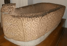
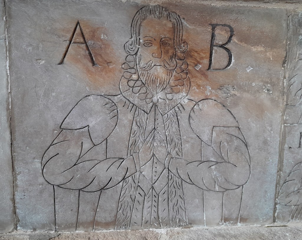
In contrast to many notables of the period we know something of the man’s character, since he left a memorial to himself and his family in Duffield church. Unusually, this was erected in 1600, long before he died in 1614, and clearly was designed by himself. The memorial can be found in a side chapel on the north side of the nave, and has thumbnail pictures of himself and his family, with his first wife on the left and the second on the right.

His first wife was Grisilda Blackwall from Over Haddon, by whom he had four sons (no dates are given), as can be seen in the left-hand strip. Elizabeth Hawghton was his second wife, and she had produced 16 children by the time of the memorial, who are listed as:
Jacinth, Anthonie, Michaell, Elizabeth, Felix, Quyntin, Petronilla, Athanasia, Isidora, Mildrede, Brandona, Erasmus, Joseph, Millicant, Cassandra, Vicesim.
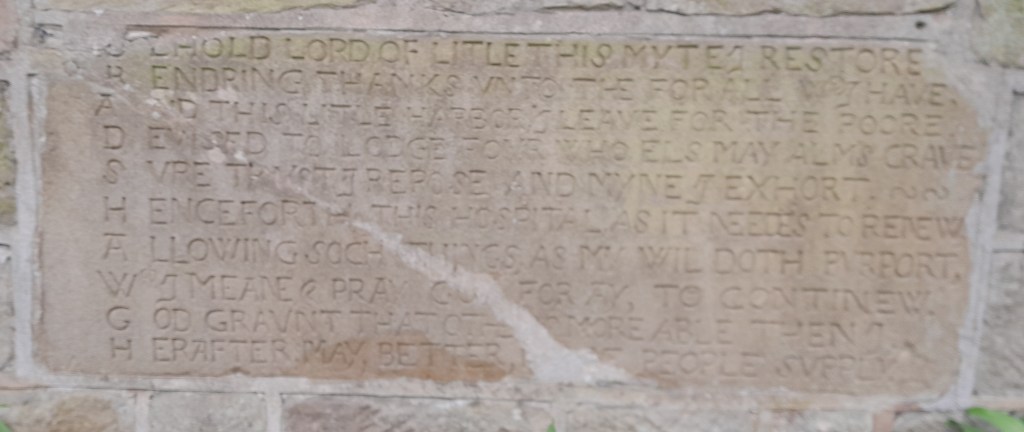
Unwilling to stop at 20, the happy couple went on to have several more after the monument was built, including one called Penultima – clearly finding names had become a problem! Unfortunately we have no record of their dates of birth, nor how many survived infancy. Bradshaw was not just a proud father, but was also a wordsmith, and he devised an exemplary acrostic for the family memorial, setting out his wishes for his children:
B less them O Lord with peace
R esist their adverse fates
A lways them well increase
D efending them from bates
S uch livelode to them give
H ere whylst on earth they bee
A s they may love and live
W e praye O God quoth he
Bradshaw (1545 – 1614) was also a public benefactor, building four almshouses for poor widows on the site of the present Baptist Chapel , just opposite the sign below. In return for their house the widows were required to keep the family memorial clean and dust the family pew – presumably a convenient arrangement all round.
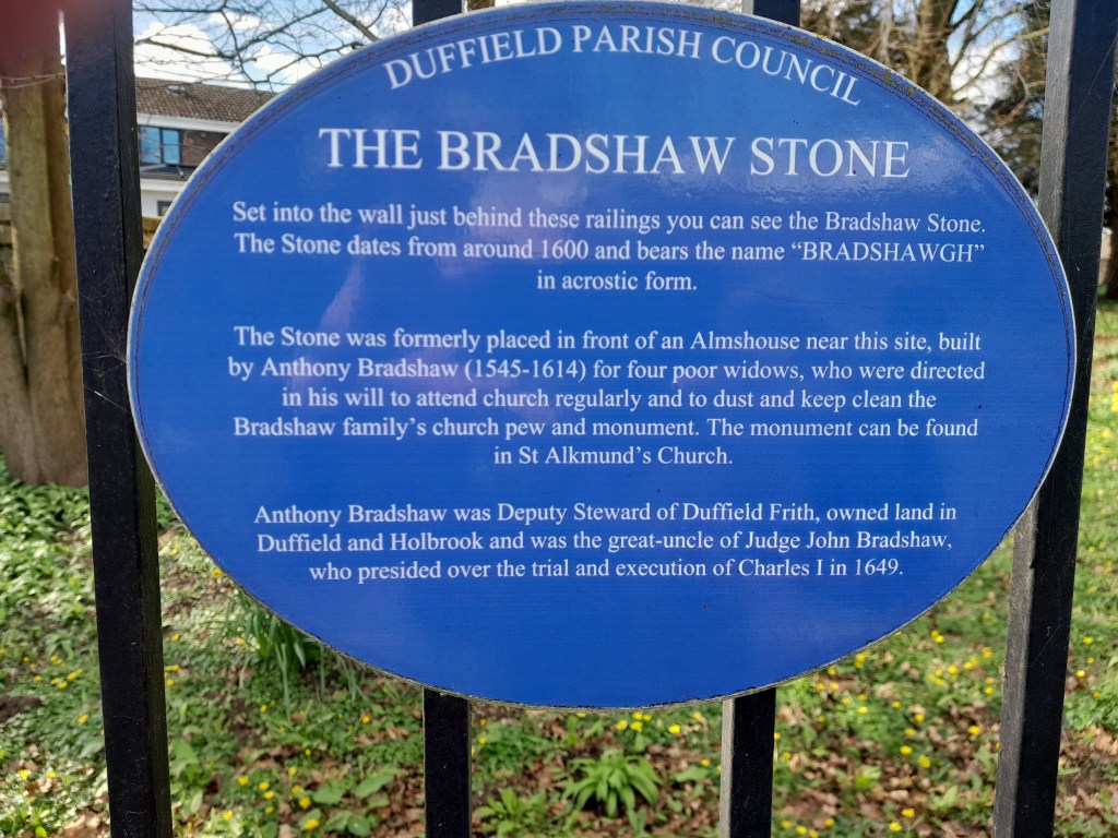
The stone contains another acrostic, on the same lines as the one in the chapel. Consistency was not a feature of Elizabethan spelling, and here is an alternative version of the family name: