What’s in a name?

Sign near Holbrook

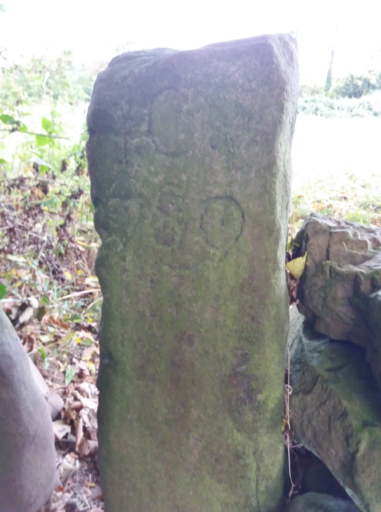
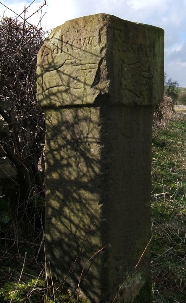
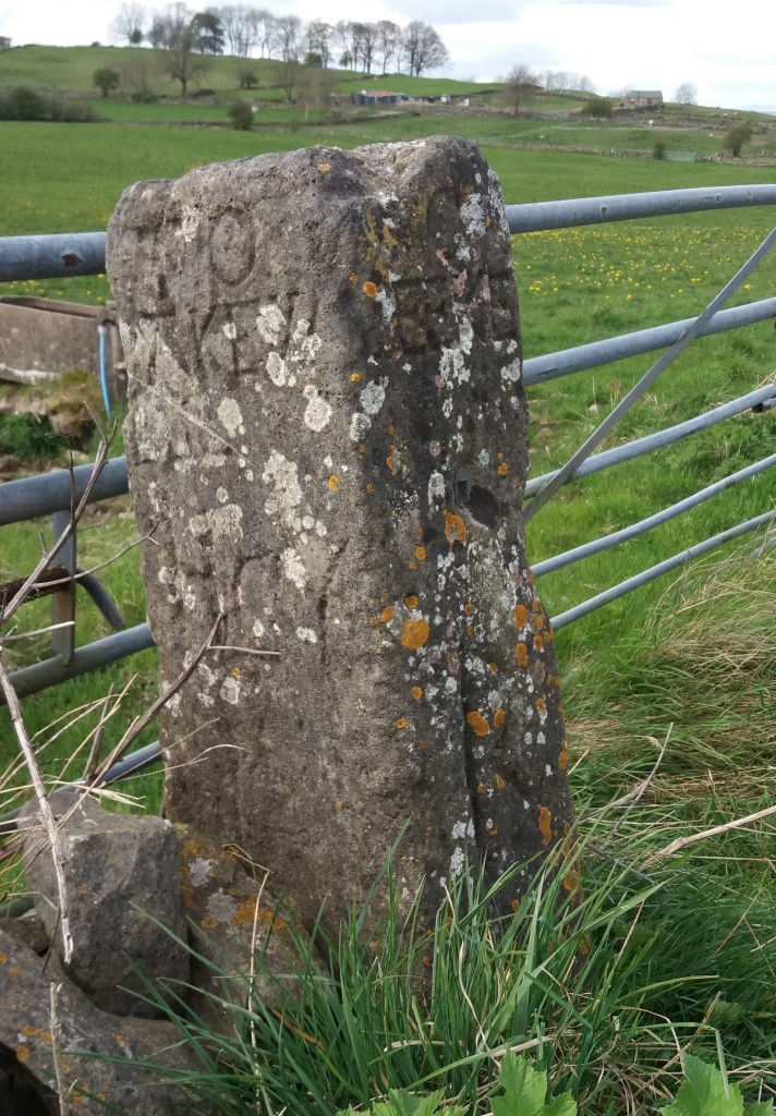
There are several ‘portways’ in England, such as the route over the Long Mynd in Shropshire, but the Derbyshire Portway seems to be the longest and the best-researched. The route in Derbyshire was first suggested by Cockerton, an historian from Bakewell in the 1930s, who based his idea of a long-distance route on a string of ‘port’ place names such as Alport and Alport Height, which can be linked together in a roughly north-south alignment by existing tracks and paths. These place names are reinforced by references to a ‘Portwaye’ in some medieval documents and two Portway lead mines. Cockerton discussed the origin of the name ‘Portway’ at length, without coming to a definite conclusion. But it seems clear that the word is Anglo-Saxon, and was applied by them to pre-existing, non-Roman routes. Some have suggested an origin linked to ‘porter’, that is someone who carries, but then all roads are for carrying goods. The common Anglo-Saxon word for road was ‘way’, except for the old Roman roads which were ‘streets’. So a ‘portway’ was something special.

The line of the Portway running south from Cratcliffe Rocks, turnpike road to left

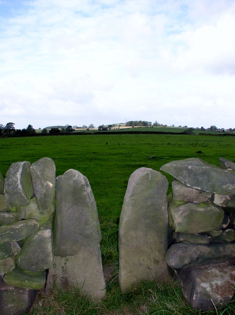
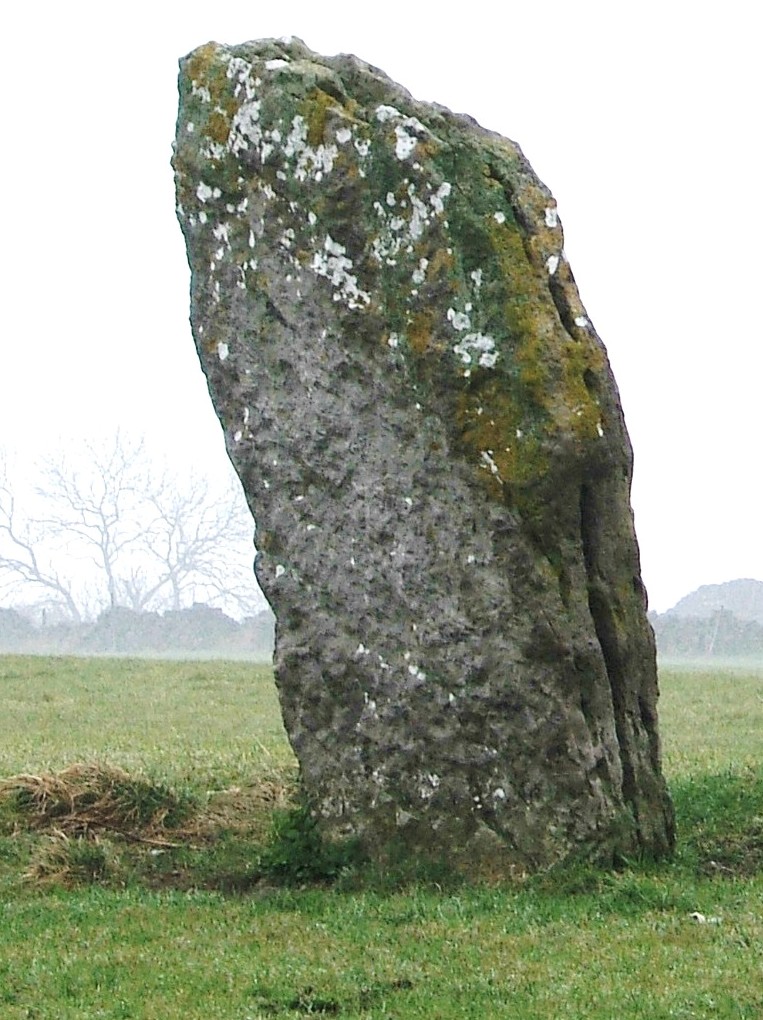
A ‘port’ suggests a place of safety and shelter, so I think a portway was a a long-distance route which had ‘ports’ for travellers at intervals of roughly ten miles. These might have been similar to the caravanserai found in the Middle East – defensive sites where wayfarers could sleep, cook and graze their animals overnight. In Derbyshire these are likely to have been on high ground for defence, and a string of probable sites can be identified, from north to south: Mam Tor, Fin Cop, Cratcliff Rocks, Harborough Rocks, Alport Height, Arbour Hill at Dale and Arbour Hill in Wollaton Park. It is noteworthy that three of these have a similar ‘arbour’ component, and a harbour of course is similar to a port.

Harborough Rocks, between Wirksworth and Brassington

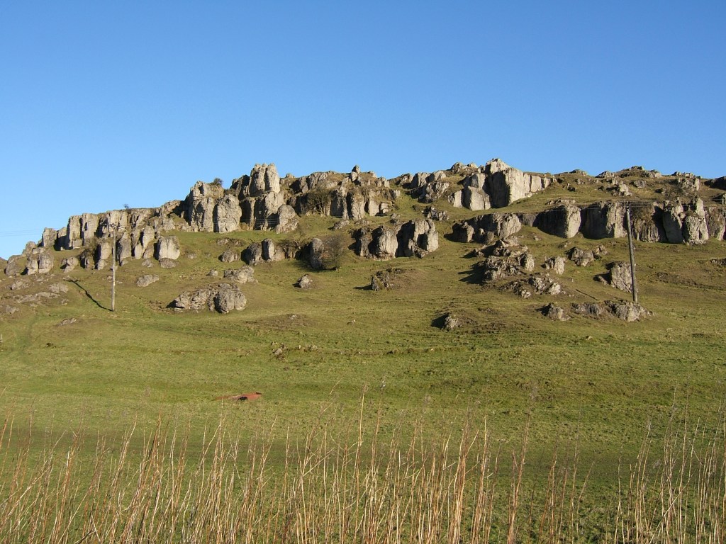
Several of these sites, including Mam Tor, Fin Cop and Harborough, have been excavated and evidence of occupation, such as pottery, has been found. But permanent settlement in such high and waterless places seems unlikely, while the designation ‘hill fort’ is too vague. Far more likely that they served to protect tired travellers, and thus answered a question too rarely asked by pre-historians – how did merchants, drovers, priests, soldiers and pilgrims make lengthy journeys before the arrival of inns?

The style of stiles

Since the nineteenth century stiles have been a familiar feature of the rural landscape, providing a bucolic focus for pictures of simple country folk or lovers’ trysts. Before the enclosure of moors and commons stiles weren’t needed, but with the arrival of hedges and dry stone walls access was needed for pedestrians. ‘Stile’ comes from the old German word ‘stigel’ which means to climb or go over.

Squeeze stile near Alport Height

Squeeze stiles are a distinctive feature of the Derbyshire landscape. They are simple to pass through, but clearly are only effective if too narrow for sheep to slip between, and so can prove quite tricky for the overweight! They have the advantage of clearly marking the route of a path, so that when entering a field you can normally see the next stile ahead, and aim for that. Very occasionally the stile stones are dated, as in the example below at Lea, which suggests that this area was enclosed about 1780.

Other types of stile are with wooden steps, or stone steps let into a wall. Both can be more difficult for walkers if not well-maintained, and an upright wooden post should be provided for hand support. Dogs can also find stiles tricky, so the ideal model has a dog gate which can be raised when needed. But today there is a move to replace stiles with gates, more convenient for elderly walkers but also requiring more maintenance – and easily left open.

Stile and gate near Holbrook

Beyond their practical function, stiles can be seen as fossilised markers of footpaths, possibly 250 years old in many cases, but indicating routes that were in existence before the enclosures and which had to be preserved subsequently. In places the paths they serve could be medieval, and may once have been a long-distance road, now merely a Sunday ramble.

Conquering the stoop

Guide stoop at top of Crowhill Lane near Bakewell

Nearly fifty of these stone pillars survive in Derbyshire, providing vital clues to the medieval road network. ‘Stoop’ is a Scandinavian word for stone, and they have proved suitably durable, many surviving for over three hundred years. They were erected about 1709 to (belatedly) comply with an Act of 1697 which required direction stones to be put up at road junctions in remote moorland areas, where travellers would be likely to get lost. The majority have inscriptions on four sides, and these should indicate the direction of the nearest market towns. The example above shows a hand pointing to ‘Bakewel’, while the other sides indicate the directions of Tideswell, Buxton and Winster. It is notable that the stone now stands at a T-junction; the fourth route was closed with the opening of the turnpike road on what is now the nearby A6.

Guidestoop above Winster on road to Grangemill

This illustrates one of the values of these stoops: they show the routes that were in use pre-turnpike and pre-maps. The Winster stoop, above, provides another example. It is thought that originally it stood at the end of Bonsall Lane, and indicates Wirksworth, Bonsall and Bakewell. The fourth town marked, however, is Leek, over 15 miles away via Pikehall, but clearly a significant destination at that time. As with some other guide stoops, this one has been used as a gatepost, since most stoops would have become redundant with the arrival of better signposted turnpikes later in the eighteenth century. Nearby, at Shothouse Spring, another stoop (on private land) is no longer on any road or path, although it was clearly erected at a one-time crossroads.

Guidestoop at Alport Height

The Alport stone (showing Derby, Wirksworth and Ashbourne) is another example of a stoop at an apparently remote junction, but clearly thought worth marking in 1709. In fact its position on the Portway suggests that it would have been a more important route at that time. To properly envisage early eighteenth century travel we need to remove most of the dry stone walls and grassy pasture, and go back to a landscape of open scrubby moorland, crossed by the occasional track. In this setting it is easier to imagine the reassurance that the guidestoop would have given the uncertain traveller.

(For a detailed guide to all surviving stoops see ‘The Guide Stoops of Derbyshire’ by Howard Smith)

The story of the stones

Stone near Wirksworth-Brassington road about one mile west of Wirksworth

It seems likely that single standing stones like the one above, which is over two metres high, have been used as route markers for possibly thousands of years. Stone is readily quarried in north Derbyshire, and once erected they are extremely durable, although some may have been broken up when the commons were enclosed. But in an open, moorland landscape they would have clearly stated ‘here is the route’ and would have been visible a mile away.

No-one knows how many such stones survive today, and not all are marked on the OS map, unlike the stone illustrated. They can be confused with gateposts, but these are generally shorter and have holes bored in them to attach hinges. Some have been worked so that they have been roughly squared, although they have no inscription, as with the stone below, which can be found at SK 299521, just off the public footpath but clearly visible from it. The location is in a direct line from the top of Alport Height to the alignment of Prathall Lane, leading into Gorseybank, southeast of Wirksworth, which might have been the route of the Portway in early medieval times.

Looking north to Middleton and Cromford moors

A third stone near Wirksworth can be seen opposite the Malt Shovel Inn, near the crossroads of the Alfreton-Ashbourne turnpike with the route down to Belper from Bolehill, although it must be much older than these. It is marked on an early nineteenth century map as ‘menhir’ and may well indicate a very early route of the Portway, avoiding the steep descent into the town by circling it on the east and north sides. As with the other stones, this is on private land, but is clearly visible from the road.

In common with many other prehistoric and historic sites, we can never know the full story behind these enigmatic stones, but this basic supposition – that we are looking at ancient route markers – is supported by the use of similar stone markers (but with lettering) for guide stoops in the early eighteenth century and then the introduction of regular milestones on the turnpike roads.

Stone near the Malt Shovel pub