Repairing holes in roads must have been one of the worst jobs in the pre-industrial world. Courbet was not the only artist attracted to the subject: his pair of stone breakers represent a class of unskilled labourers never previously regarded as a suitable subject for art, the viewer feels their dusty, sweaty toil . In contrast, John Brett’s The Stone Breaker (also 1858) portrays an almost idyllic scene; lovely weather, a handsome young lad on the job, and his dog amusing itself. The milestone in the corner (London 23) is a reminder that he is also filling in holes, and to do so required stone to be broken into small fragments to create an all-weather surface.

One of the earliest attempts to deal with the problem of road maintenance was made in 1555 when the Statute of Labour was passed, which gave responsibility for this to the parish. They were obliged to choose a Highway Surveyor, who had the unenviable task of getting all householders to work on the roads for four days a year (later increased to six). Farmers with horses and carts were also required to lend these to move stone. Clearly this system was unfair, since if the Great North Road ran through your parish there would be far more wear and tear than if, say, you lived in Bonsall. However, despite the drawbacks, roads were more or less kept open, and people and goods moved around. Even after the main routes were turnpiked from the mid-eighteenth century, unpaid labour was still required. This is shown locally in the diary of Rowsley farmer Mathew Gibbons, who records his father doing roadwork for six days in 1761-2.

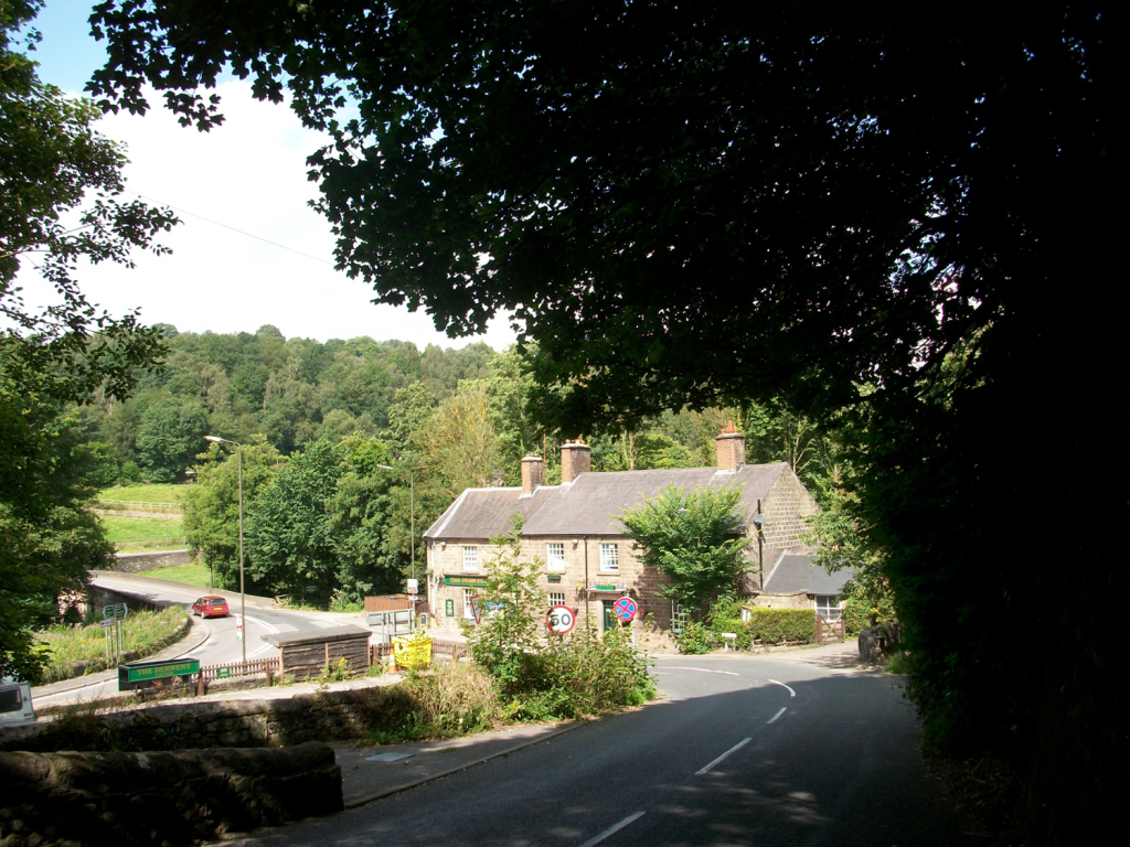
Clearly this is not a problem that has gone away. A recent report states that potholes are the biggest worry for drivers today, which will surprise no-one who has tried driving or cycling on our Derbyshire roads in the last few years. Perhaps it’s time to go back to the parish system and get everyone out, once a month, for some DIY patching!