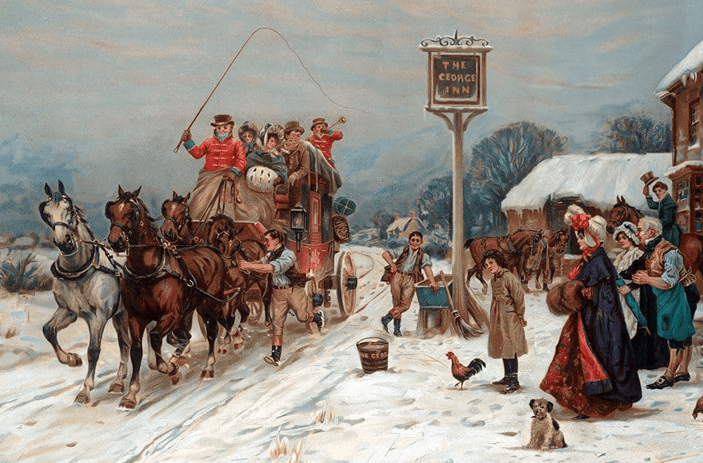
The Mass Trespass at Kinder Scout in 1932 is commonly described as the impetus to the subsequent access movement. Yet this mythical event, involving perhaps 400 people and organised by the Young Communists, must be seen against the long history of defending walkers’ rights against bullying landowners, going back to the early 1800s. The subsequent fame of the event may be due to the harsh prison sentences handed out to a few protesters. But one definite outcome was to inspire Ewan MacColl to write his first successful song, The Manchester Rambler:
I’m a rambler, I’m a rambler from Manchester way
I get all me pleasure the hard moorland way
I may be a wageslave on Monday
But I am a free man on Sunday

Since then the song has become part of the folk repertoire; covered by many musicians such as the Dubliners. Part of its success may be down to the light-hearted approach:
I once loved a maid, a spot welder by trade
She was fair as the Rowan in bloom
And the bloom of her eye watched the blue Moreland sky
I wooed her from April to June
On the day that we should have been married
I went for a ramble instead
For sooner than part from the mountains
I think I would rather be dead
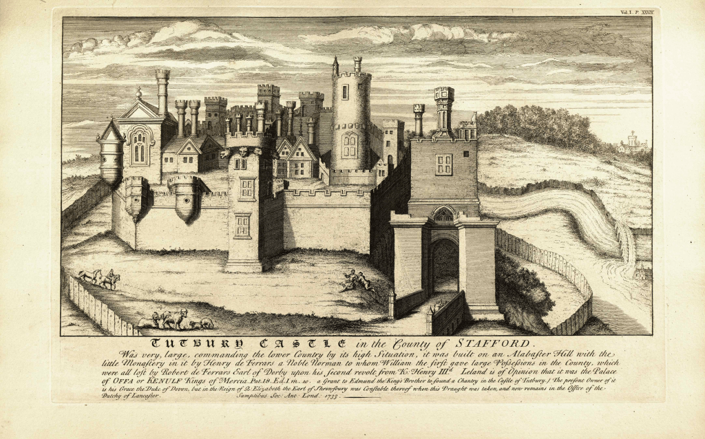
Whatever the truth about the Trespass, this was not the Duke of Devonshire’s finest hour. The owner of tens of thousands of acres of Derbyshire, and these grouse moors in particular, he appears to have encouraged his gamekeepers to rough up the walkers: hardly in keeping with the Cavendish family’s liberal traditions.

MacColl went on to have a remarkable life, heavily involved in theatre workshops, and marrying Joan Littlewood the theatre director first and later Peggy Seeger, the half-sister of Pete, and had a close working relationship with both. His songs include The First Time Ever I Saw Your Face and Dirty Old Town.
Listen to The Manchester Rambler: