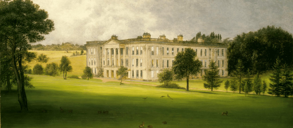
It’s easy to assume that every extreme weather event – heatwave, drought or flood – must be the product of global warming. However, the storm that hit Derbyshire almost exactly 192 years ago, on the 26th of June 1830, could hardly have been caused by this. The event is recorded in the diary of Sir George Crewe of Calke Abbey, who describes how at 11.30 in the evening:
‘…the rain began to fall in torrents – I might say to descend in one sheet of water. Such rain I never heard before … Thus it continued, I should think, for at least an hour and a half‘.
In the morning Sir George went downstairs and found that the house had been flooded overnight through the front door, with red mud all over the carpets. Outside the lawns were covered in mud and the drive had been swept clear, down to its foundations. As a magistrate he had to drive to the Petty Sessions in Ashby that morning, and he records the difficulty of getting there due to the washed-out state of the roads.

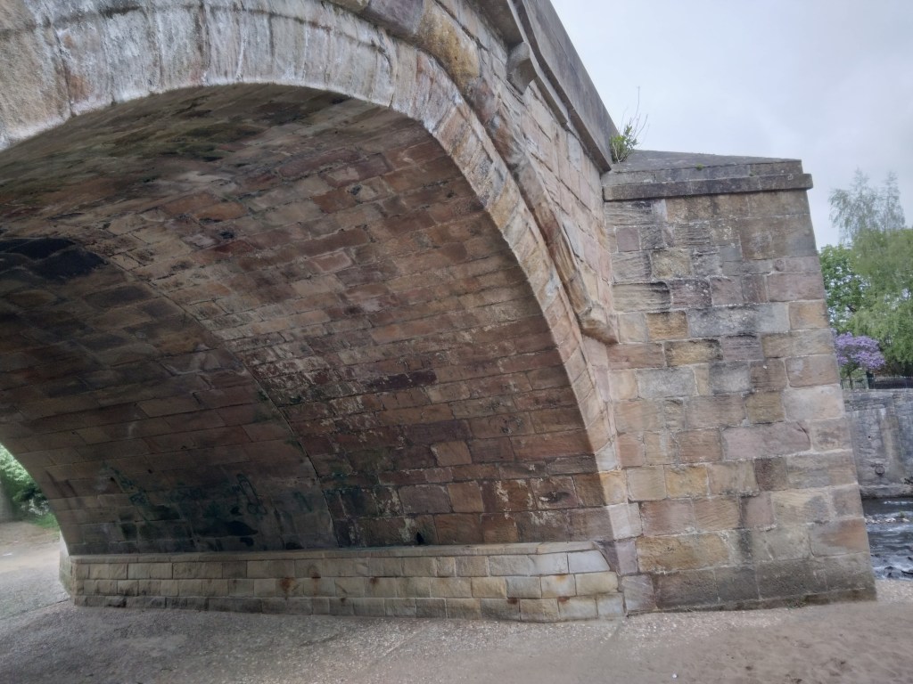
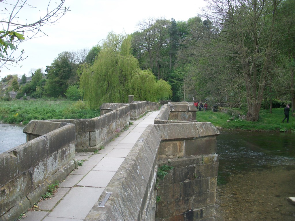
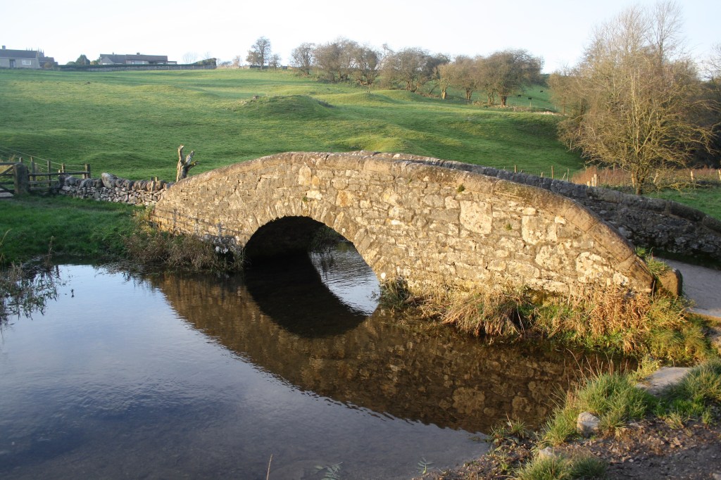
His diary records that on July 13th he had to attend the Quarter Sessions in Chesterfield – a substantial journey on horseback of about 45 miles (he must have had to stay overnight). The route would have taken him over the ancient Swarkestone Bridge, which had fortunately survived the torrents. At the Sessions he was told that the county needed £7,000 for bridge repairs as a result of the downpour – in modern terms, nearly a million pounds. No less than six bridges on the Amber alone had been swept away. Clearly, even the best turnpike roads at this time were unsealed, and so liable to be washed out in the event of severe rain.