It took 30 years for the first national long-distance trail, the Pennine Way, to be opened. In 1935 an article by Tom Stephenson suggested the creation of the route, inspired by American models such as the Appalachian Trail, but it was not opened until 1965, after years of haggling with landowners such as the water companies. Today its 260-odd miles from Edale to just over the Scottish border are still a formidable challenge, but it has been joined by the development of many more such paths.

The various long-distance paths in Derbyshire have been developed for different reasons. For instance, the relatively new Ecclesbourne Valley Way (11 miles) provides users of the Ecclesbourne Valley Railway with the chance to walk all or part of the route from Duffield to Wirksworth. The Limestone Way (46 miles from Castleton to Rocester) was set up by the local council to promote tourism in the area. The 55-mile Derwent Valley Heritage Way, from Ladybower to the Trent, was created for similar reasons, and to tie in with the World Heritage Site status of the valley. A glance at the Ordnance Survey map will reveal more (green diamonds on the 1:25,000 map), such as the Midshires Way, Peak Pilgrimage or the Cuckoo Way.

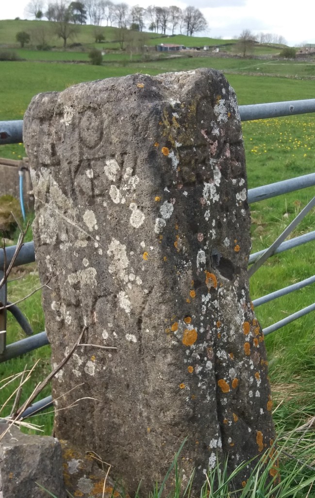
Most of the recently created routes link up existing rights of way and waymark the entire track. As such they provide walkers with an alternative to circular walks, although clearly sections can be followed separately. However, only the Derbyshire Portway (55 miles from Sneinton, Nottingham to the Snake Pass) can claim to follow the approximate route of an ancient trackway. The problem with some of these recent routes is a lack of maintenance. It is surprising how quickly signposts disappear, waymarks are hidden by foliage, and even field boundaries are removed. Attempting to walk the Midshires Way recently we found that in the centre of one large field near Palerow Lane the route makes a 90 degree turn, which we missed as there was no marking at all, yet I imagine that few walkers want to be glued to a walking app. Providing proper waymarking, stiles and undergrowth clearance on these routes would be a trivial expense, and would certainly encourage more people to take to the hills.